

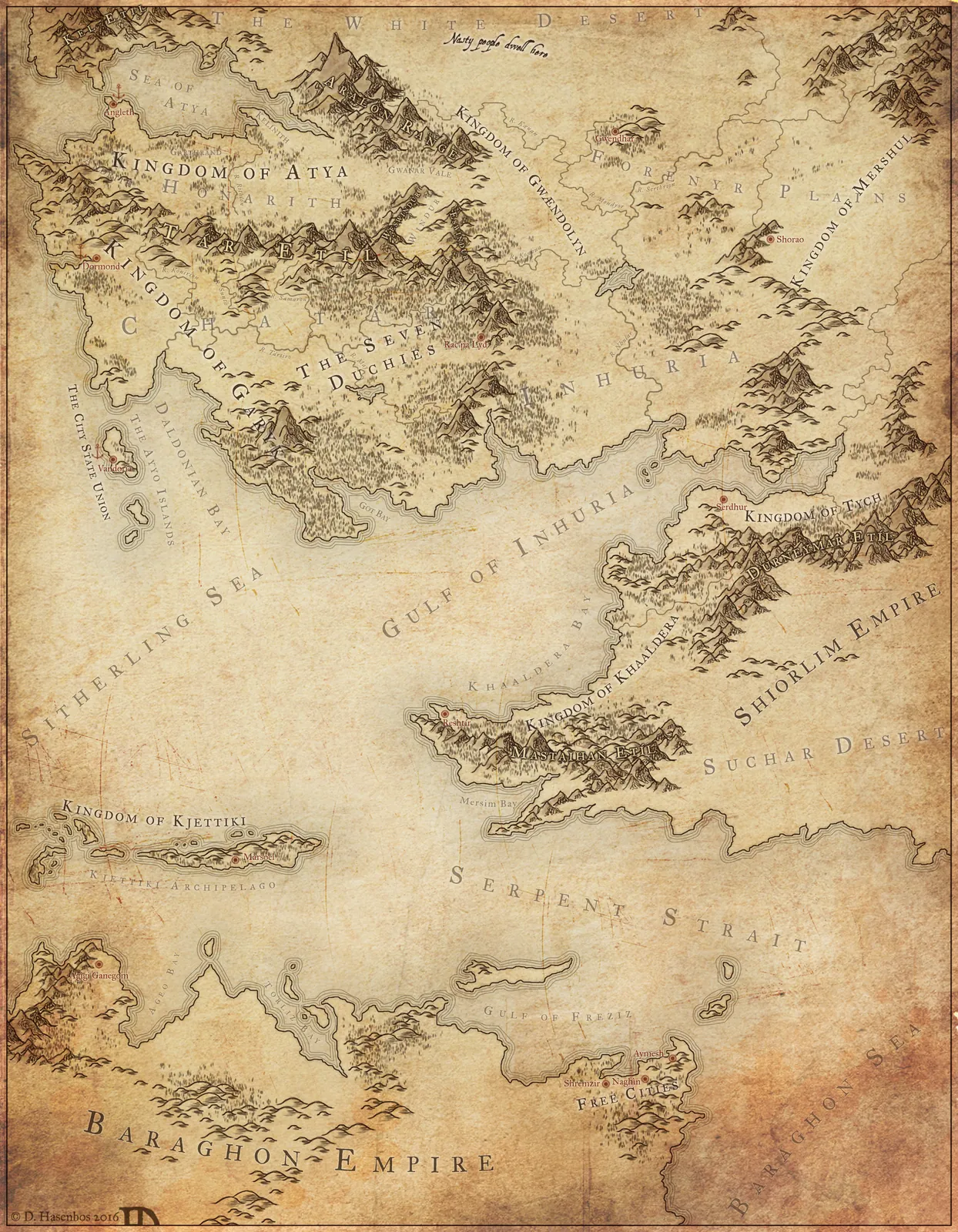


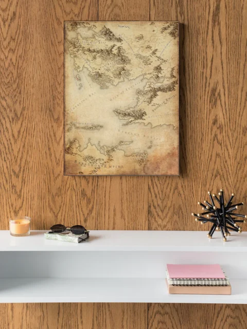
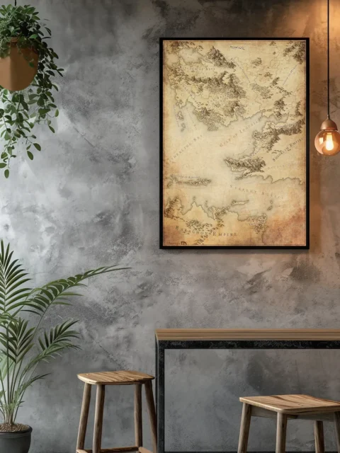


Sepia mountain ridges and kingdom borders define this sprawling continental map. This western char an tyra fantasy map canvas print captures multiple empires across detailed terrain. Notably, aged parchment textures add authentic medieval cartographic depth.
Also, hatched mountain ranges separate the Kingdom of Atya from southern territories below. Meanwhile, decorative serif lettering marks major political divisions like the Baragon Empire. Fine coastlines and forest symbols complete the traditional cartographic style.
Six distinct kingdoms create immediate campaign possibilities across varied terrain types. Worldbuilders and dungeon masters recognize professional cartography that supports serious gameplay. Particularly, this western char an tyra fantasy map canvas print rewards collectors who value authentic medieval mapping traditions.
About This Canvas Print
- Printed on premium artist-grade canvas using archival inks rated for 100+ years of fade resistance
- Flat canvas print — no frame, no matting, giving you complete flexibility to display it your way
- The 1.5-inch border on all sides is designed for gallery wrapping around a stretcher frame or standard framing — the image area stays fully intact
- High-resolution printing captures fine line detail, color gradients, and subtle textures across the full image
- Printed and shipped from the USA — ready to display, frame, or wrap when it arrives
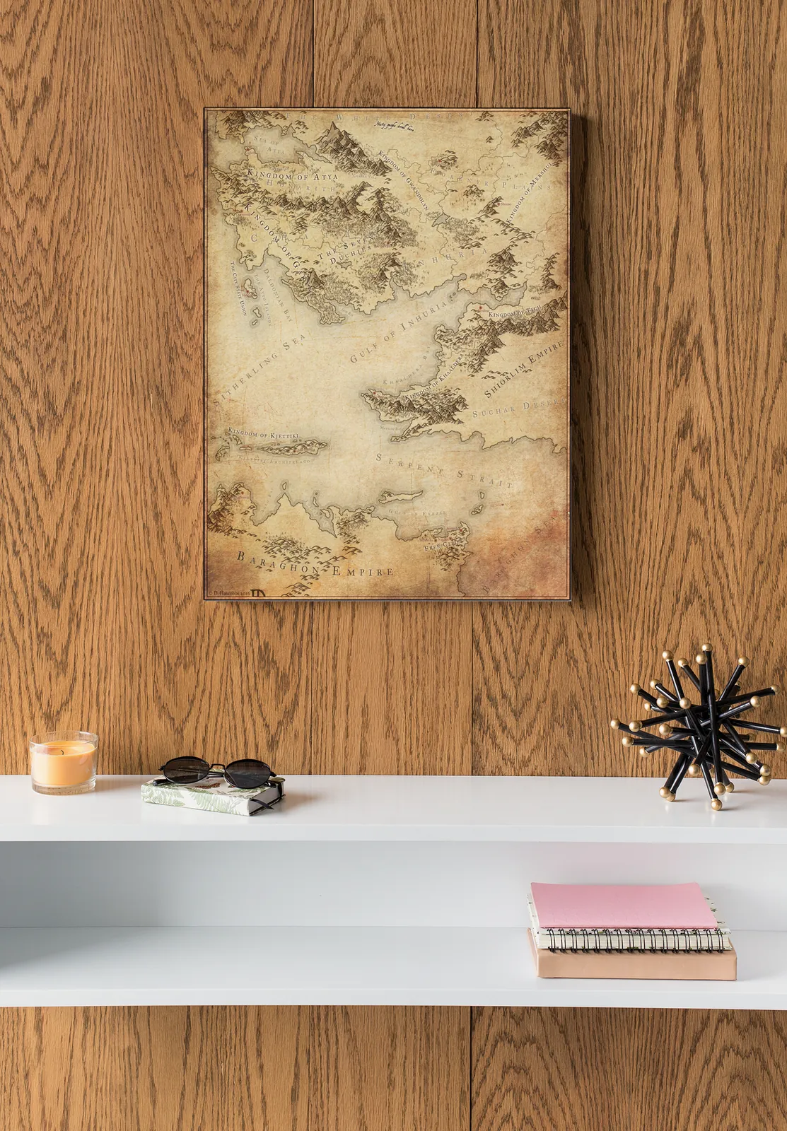
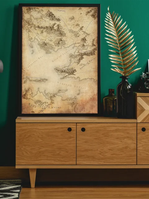
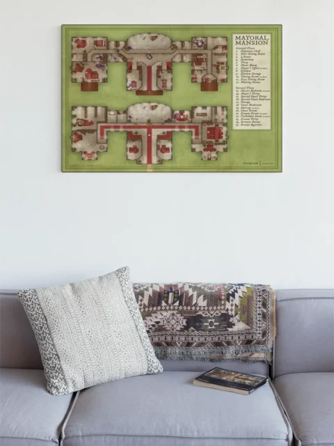
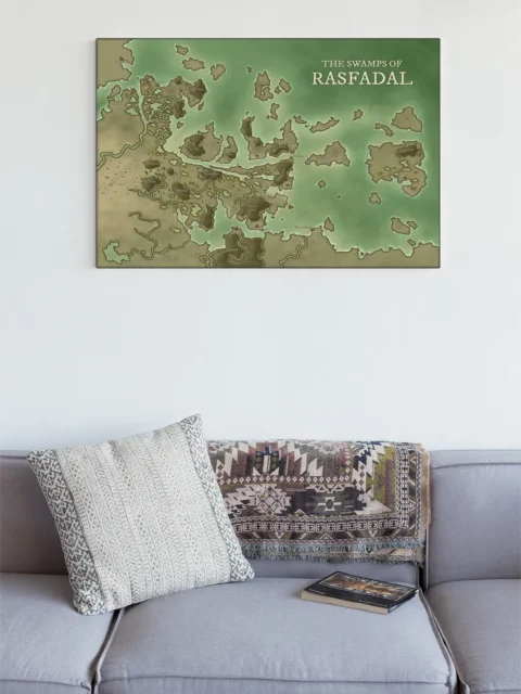
Display Ideas
Reference maps work best beside a campaign journal or reference binder during session planning. Furthermore, the sepia tones complement leather-bound gaming materials and wooden furniture.
About the Artist
This canvas print reproduces original artwork by Daniel’s Maps. Noble Dwarf is an authorized print partner — all prints are produced with the creator’s permission on archival canvas with 100-year fade-resistant inks.
Only logged in customers who have purchased this product may leave a review.
Production & Shipping
All Noble Dwarf items are produced to order. Please allow up to 2 weeks for production before your order ships.
Many items ship sooner depending on current production volume, but during high-demand periods or convention season, the full production window may apply.
Once production is complete, you will receive tracking information automatically via email. Shipping time varies based on carrier and destination.
If you have a deadline or special request, please contact us prior to ordering and we will do our best to accommodate.

Daniel's Maps
Daniel's Maps

Daniel's Maps
Daniel's Maps
Related products


Alyssa Faden Cartography


Alyssa Faden Cartography


Alyssa Faden Cartography


Alyssa Faden Cartography


Alyssa Faden Cartography


Alyssa Faden Cartography


Alyssa Faden Cartography


Alyssa Faden Cartography
Reviews
There are no reviews yet.