
Euphoros Map Gallery Archival Print by Deven Rue

$24.95 – $380.00
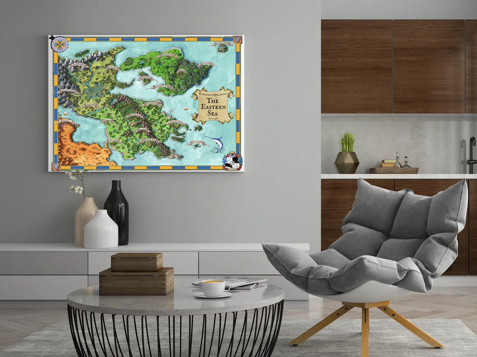
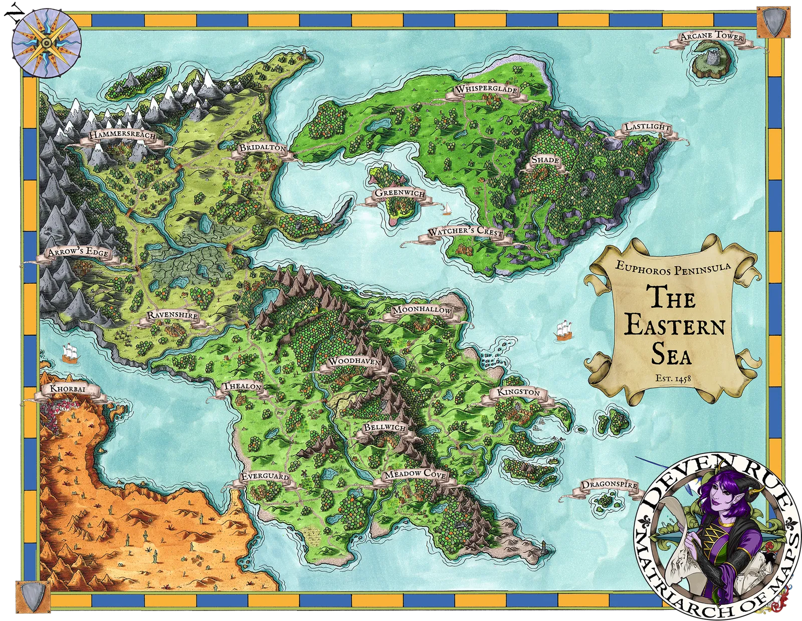
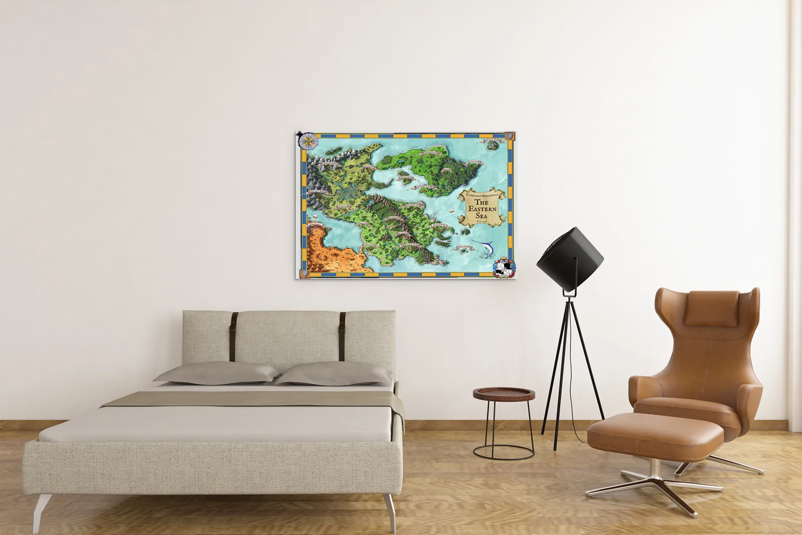
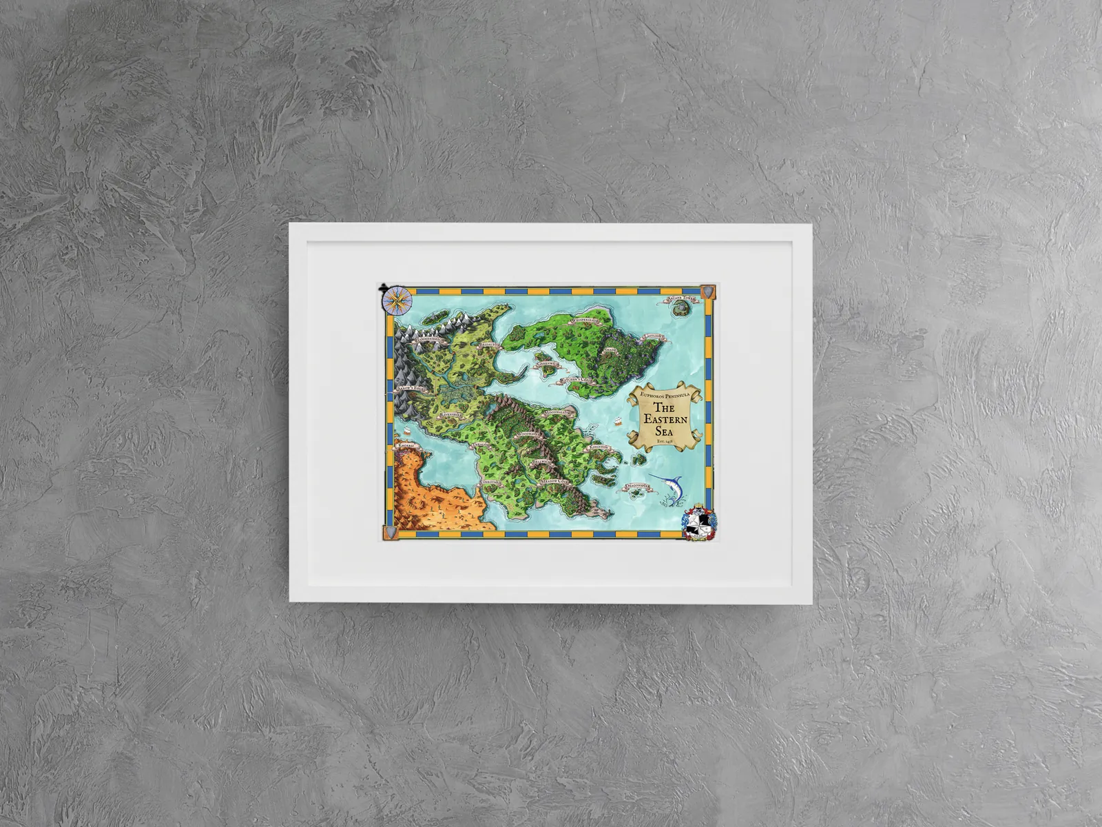
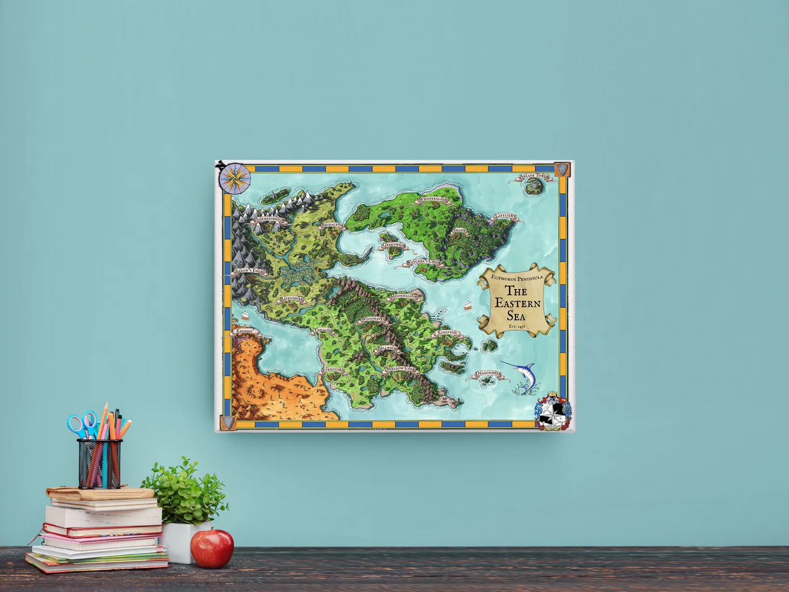
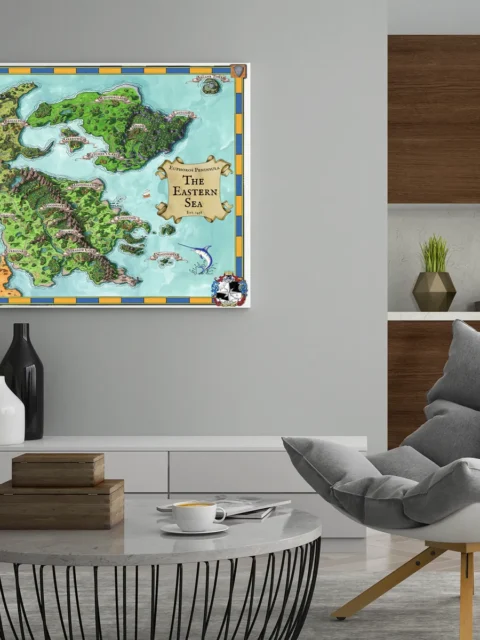
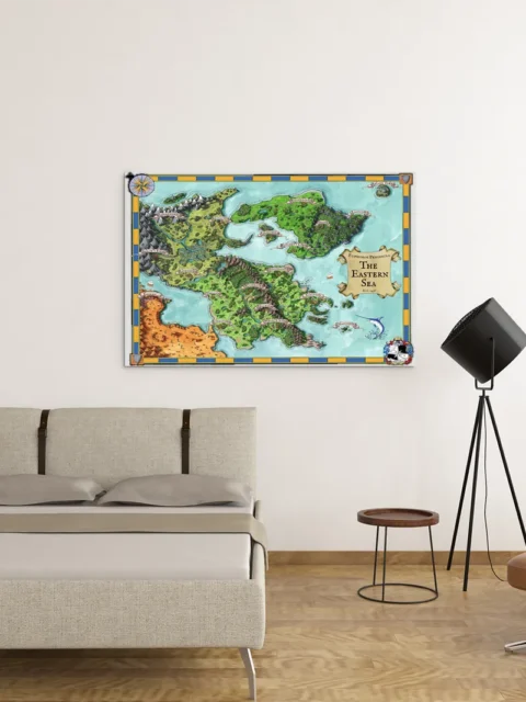
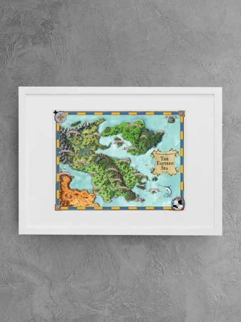
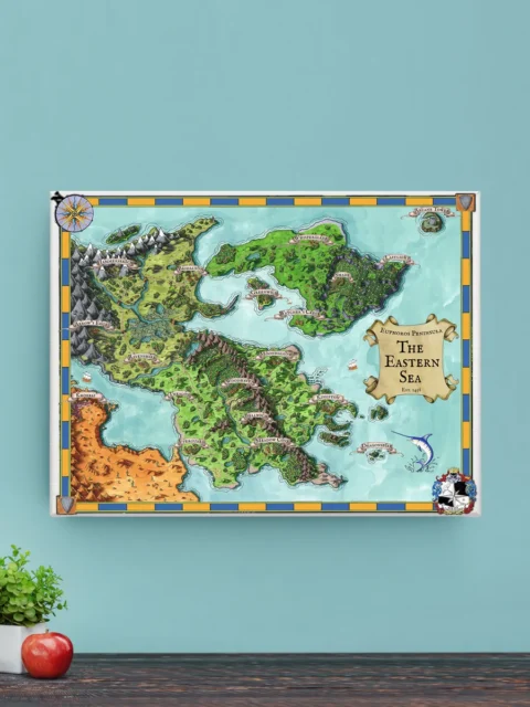
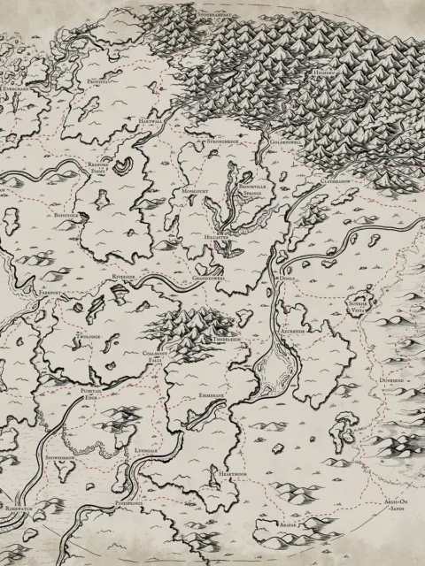
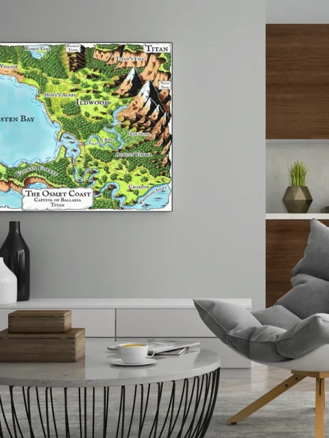
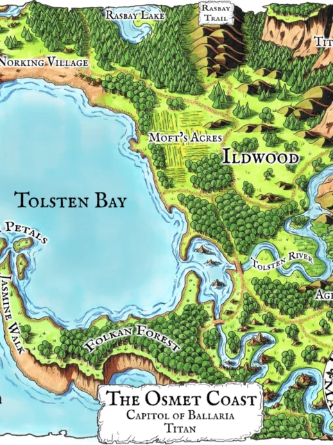
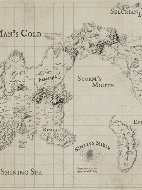
Euphoros Map Gallery Archival Print by Deven Rue features the Euphoros Regional Gallery Canvas Map as a richly detailed foundation for expansive fantasy campaigns. It supports immersive planning and visual continuity for tabletop worlds.
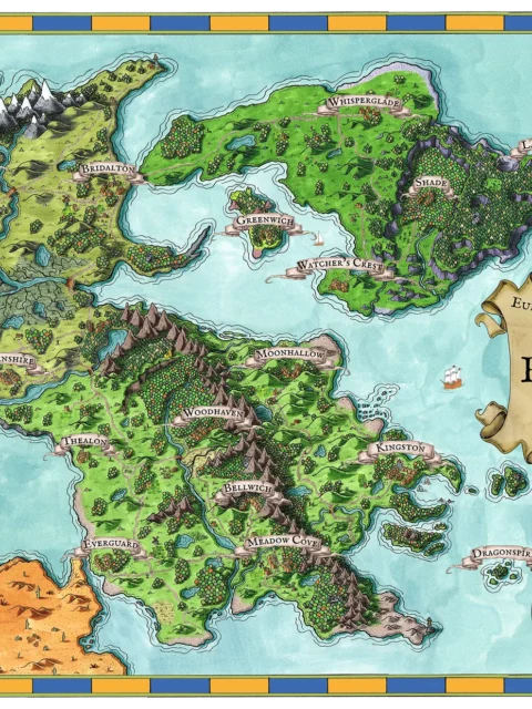
Euphoros Map Gallery Archival Print by Deven Rue presents a vibrant coastal realm defined by trade routes, political borders, and contested waters. Moreover, the illustrated geography conveys strategic tension through peninsulas, inland seas, and clustered settlements. These features imply alliances and rivalries shaped over generations. The sense of threat is subtle but persistent. It is rooted in control of movement and access rather than open warfare.
Additionally, the composition frames the Eastern Sea as a central anchor. It draws the eye outward toward surrounding regions and ports. Rivers, mountain chains, and forests form natural divisions that guide travel and decision-making. Consequently, the map encourages careful study. It rewards viewers who trace routes between cities and imagine the consequences of distance and terrain.
Finally, rich greens, blues, and warm earth tones bring clarity and energy to the landscape. Fine linework and balanced color contrast preserve readability at both close range and full-room viewing. However, the overall impact remains purposeful, presenting a living world shaped by exploration, diplomacy, and quiet conflict.
Features
Hand-illustrated fantasy regional map on canvas
Vivid color palette with clear geographic contrast
Defined coastlines, waterways, and terrain markers
Balanced detail supporting strategic map reading
Designed for immersive worldbuilding reference
Use Cases
Moreover, this piece suits collectors, gamers, and tabletop fans enhancing a wall, studio, game room, or creative space, where it can anchor long-term campaigns, support navigation-focused storytelling, and inspire exploration across a shared fantasy setting.
Only logged in customers who have purchased this product may leave a review.
Production & Shipping
All Noble Dwarf items are produced to order. Please allow up to 2 weeks for production before your order ships.
Many items ship sooner depending on current production volume, but during high-demand periods or convention season, the full production window may apply.
Once production is complete, you will receive tracking information automatically via email. Shipping time varies based on carrier and destination.
If you have a deadline or special request, please contact us prior to ordering and we will do our best to accommodate.


Related products


Alyssa Faden Cartography


Alyssa Faden Cartography


Alyssa Faden Cartography


Alyssa Faden Cartography


Alyssa Faden Cartography


Alyssa Faden Cartography


Alyssa Faden Cartography


Alyssa Faden Cartography
Reviews
There are no reviews yet.