

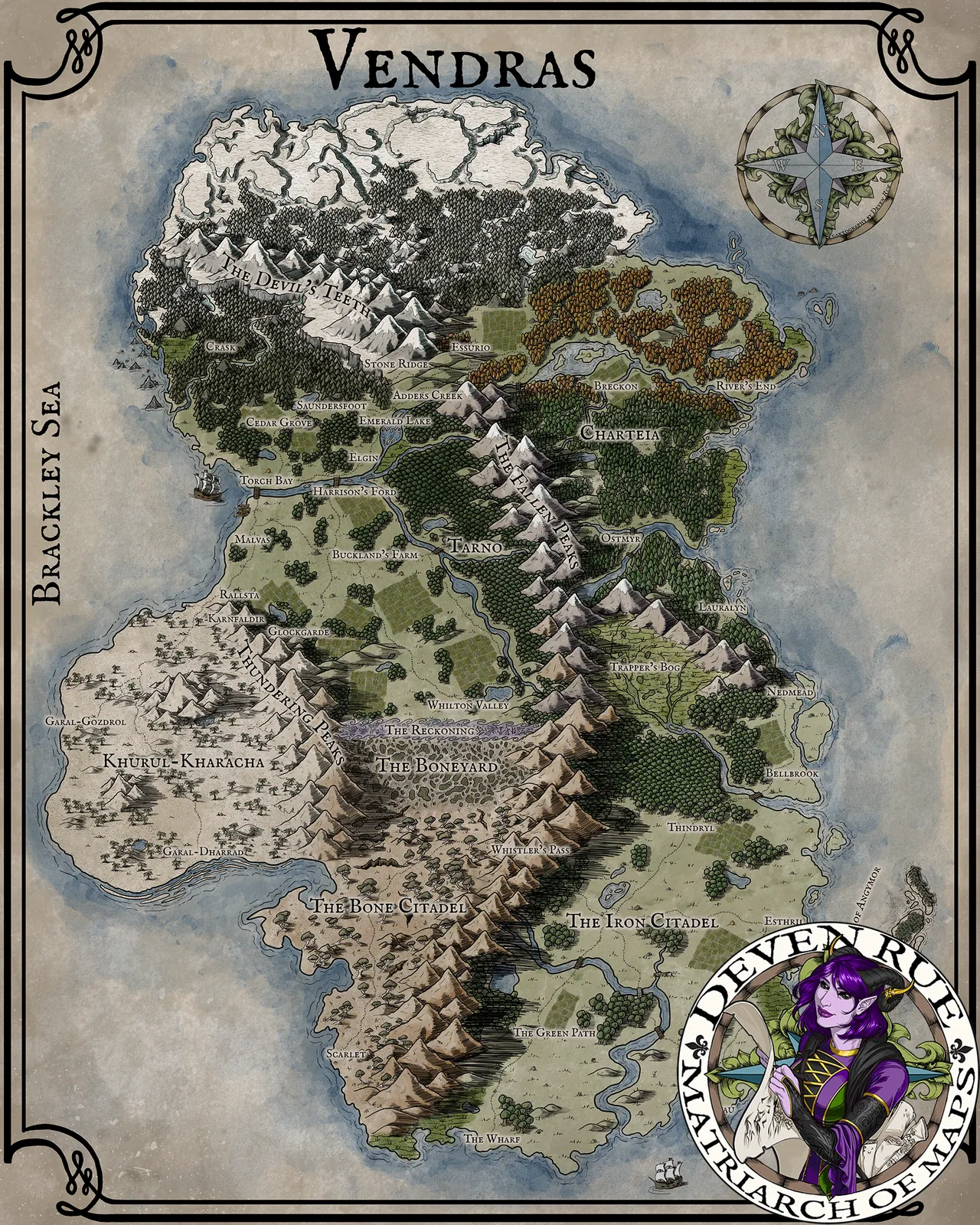


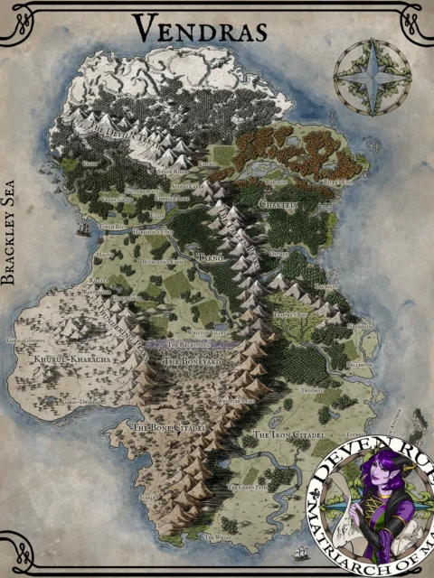

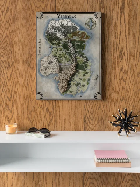

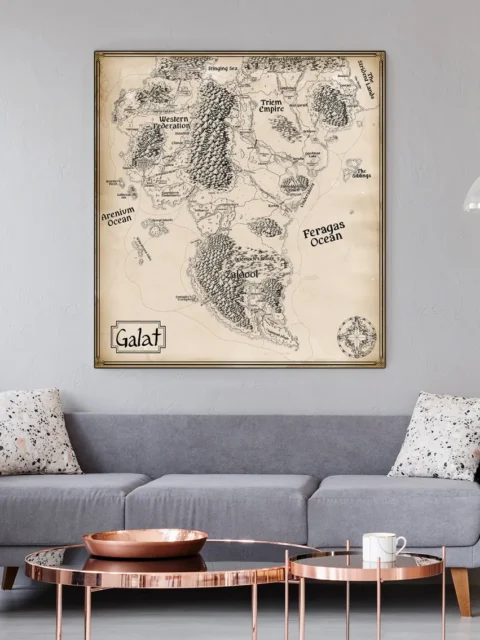
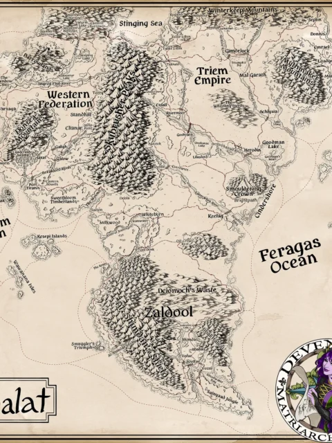
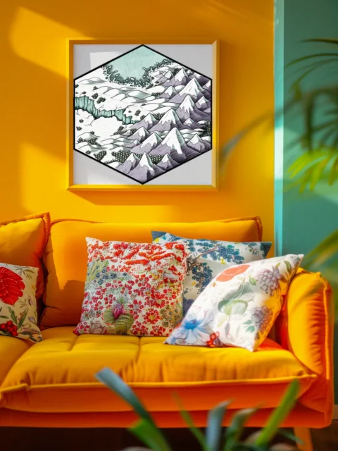
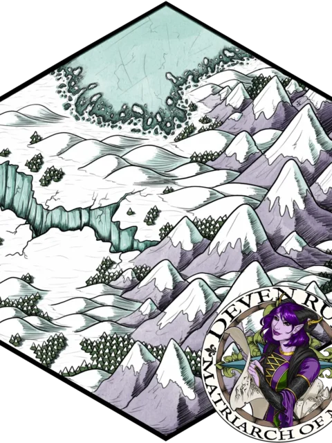
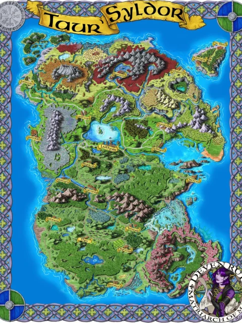
Snow-capped mountains slice through Vendras, dividing dark forests from desert wastes. Deven Rue’s vendras map fantasy map canvas print captures a continent of stark contrasts. Notably, Celtic knotwork borders frame the watercolor terrain in ornate detail.
In particular, crosshatched textures define the mountain ranges and forest boundaries with precise detail. The watercolor washes blend from deep ocean blues to tan desert expanses. Moreover, hand-drawn labels mark mysterious locations like Devil’s Teeth and The Boneyard.
Serious worldbuilders recognize professional cartography when they see it. Campaign architects and fantasy collectors value maps that anchor entire universes. Particularly, this vendras map fantasy map canvas print demonstrates the depth of your creative commitment.
About This Canvas Print
- Printed on premium artist-grade canvas using archival inks rated for 100+ years of fade resistance
- Flat canvas print — no frame, no matting, giving you complete flexibility to display it your way
- The 1.5-inch border on all sides is designed for gallery wrapping around a stretcher frame or standard framing — the image area stays fully intact
- High-resolution printing captures fine line detail, color gradients, and subtle textures across the full image
- Printed and shipped from the USA — ready to display, frame, or wrap when it arrives
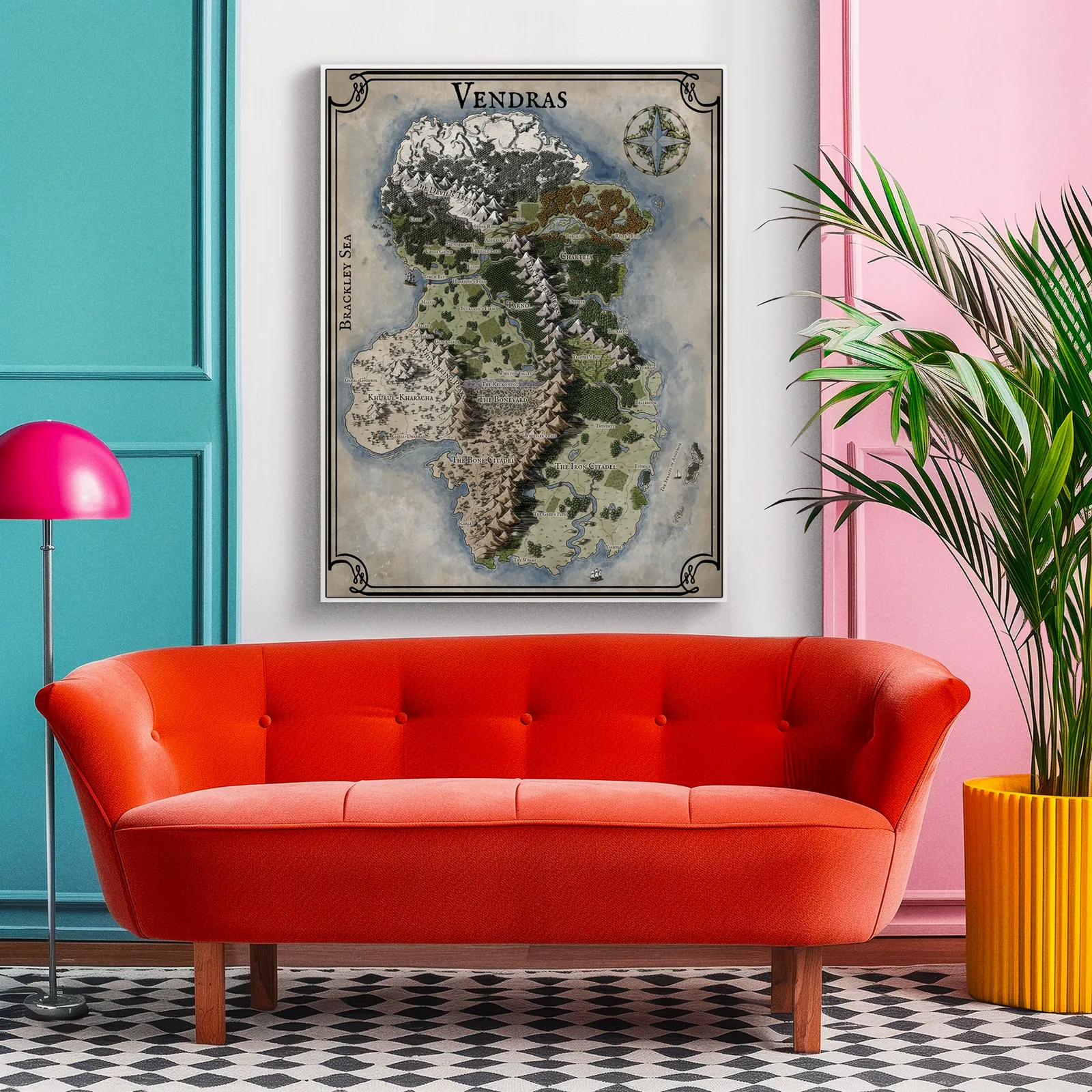
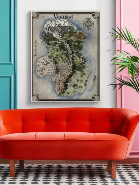
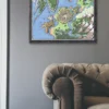
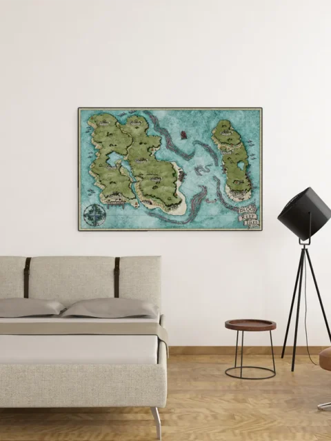
Display Ideas
Study or library where worldbuilding happens gains a continental reference that sparks campaign ideas. Furthermore, the detailed geography provides endless hooks for adventure planning and narrative development.
About the Artist
This canvas print reproduces original artwork by Deven Rue. Noble Dwarf is an authorized print partner — all prints are produced with the creator’s permission on archival canvas with 100-year fade-resistant inks.
Only logged in customers who have purchased this product may leave a review.
Production & Shipping
All Noble Dwarf items are produced to order. Please allow up to 2 weeks for production before your order ships.
Many items ship sooner depending on current production volume, but during high-demand periods or convention season, the full production window may apply.
Once production is complete, you will receive tracking information automatically via email. Shipping time varies based on carrier and destination.
If you have a deadline or special request, please contact us prior to ordering and we will do our best to accommodate.

Related products


Alyssa Faden Cartography


Alyssa Faden Cartography


Alyssa Faden Cartography


Alyssa Faden Cartography


Alyssa Faden Cartography


Alyssa Faden Cartography


Alyssa Faden Cartography


Alyssa Faden Cartography
Reviews
There are no reviews yet.