

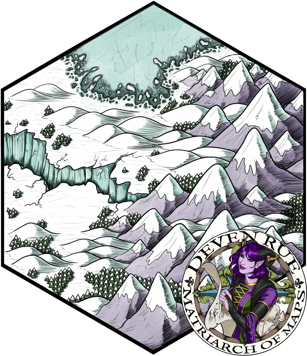
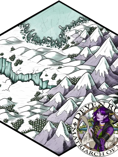

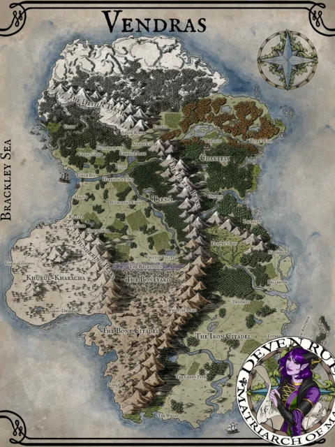
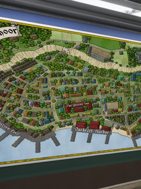
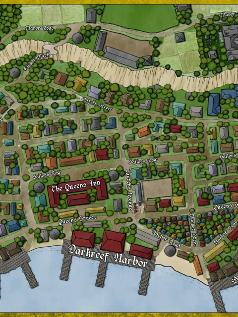
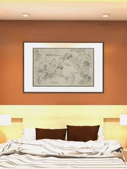
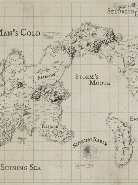
Winter’s Edge Map depicts a frozen expanse where jagged peaks, deep snowfields, and fractured ice define survival at the borderlands. Moreover, the broken terrain and isolated forests imply perilous travel and scarce refuge. If you’re looking for a stunning Winter’s Edge Map canvas print, this artwork conveys tension through cold geography rather than overt conflict.
Additionally, the composition leads the eye from high ridgelines into wide frozen valleys. However, abrupt elevation changes interrupt movement and shape narrow routes of passage. Moreover, the overhead perspective supports clear spatial reading while preserving an illustrated, atmospheric style.
Finally, icy blues and muted grays contrast with dark evergreen clusters for sharp visual impact. Consequently, terrain edges remain readable at a glance. Moreover, restrained shading reinforces depth, exposure, and scale.
Features
Hand-illustrated frozen landscape with mountain ranges
Clear top-down layout for regional reference
Strong contrast between snowfields and forests
Balanced detail for quick interpretation
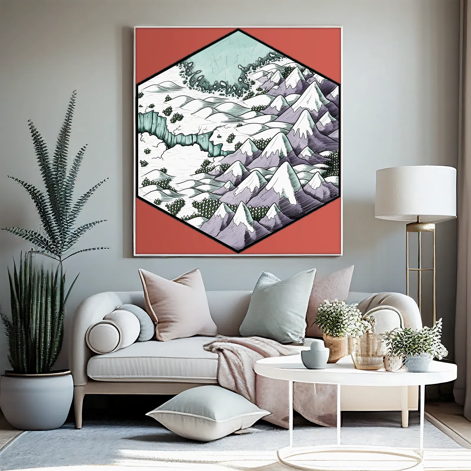
Printed on archival canvas
Use Cases
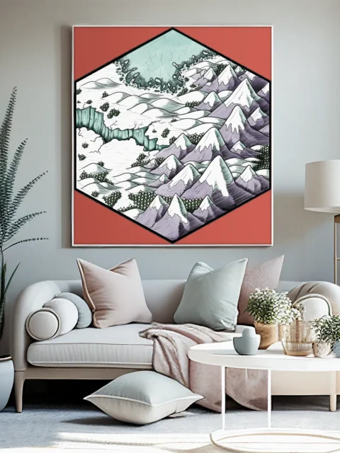
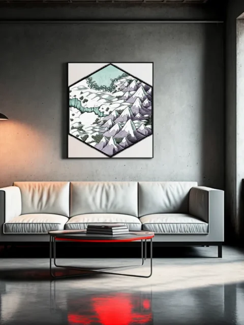
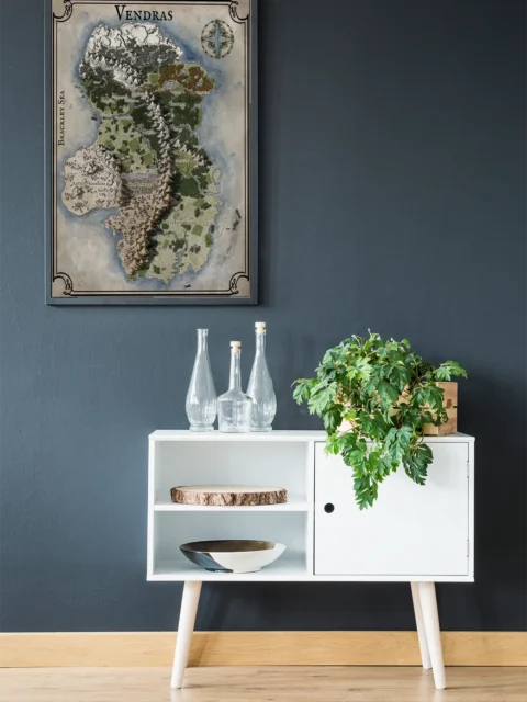
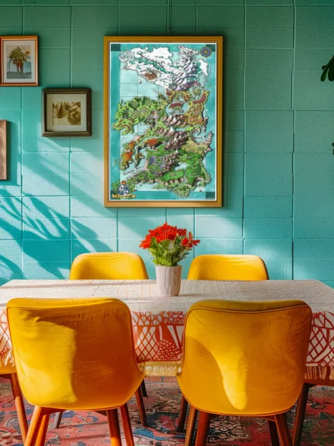
Moreover, collectors, gamers, and tabletop fans can display this map on a wall, studio, game room, or creative space to support arctic campaigns, survival-focused encounters, and exploration narratives.
Only logged in customers who have purchased this product may leave a review.
Production & Shipping
All Noble Dwarf items are produced to order. Please allow up to 2 weeks for production before your order ships.
Many items ship sooner depending on current production volume, but during high-demand periods or convention season, the full production window may apply.
Once production is complete, you will receive tracking information automatically via email. Shipping time varies based on carrier and destination.
If you have a deadline or special request, please contact us prior to ordering and we will do our best to accommodate.

Related products

Gallery Canvas

Gallery Canvas


Alyssa Faden Cartography


Alyssa Faden Cartography


Alyssa Faden Cartography


Alyssa Faden Cartography


Alyssa Faden Cartography


Reviews
There are no reviews yet.