
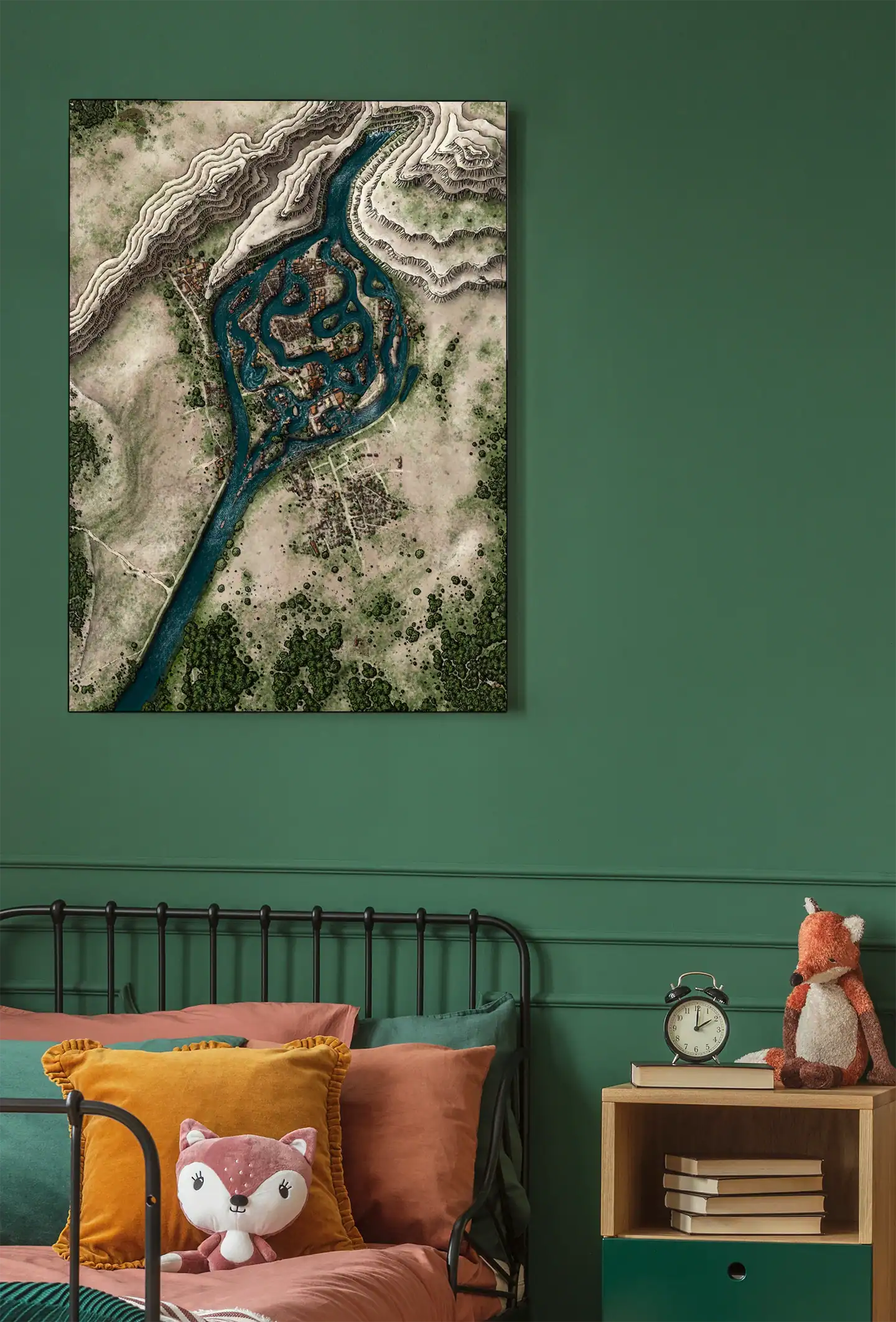
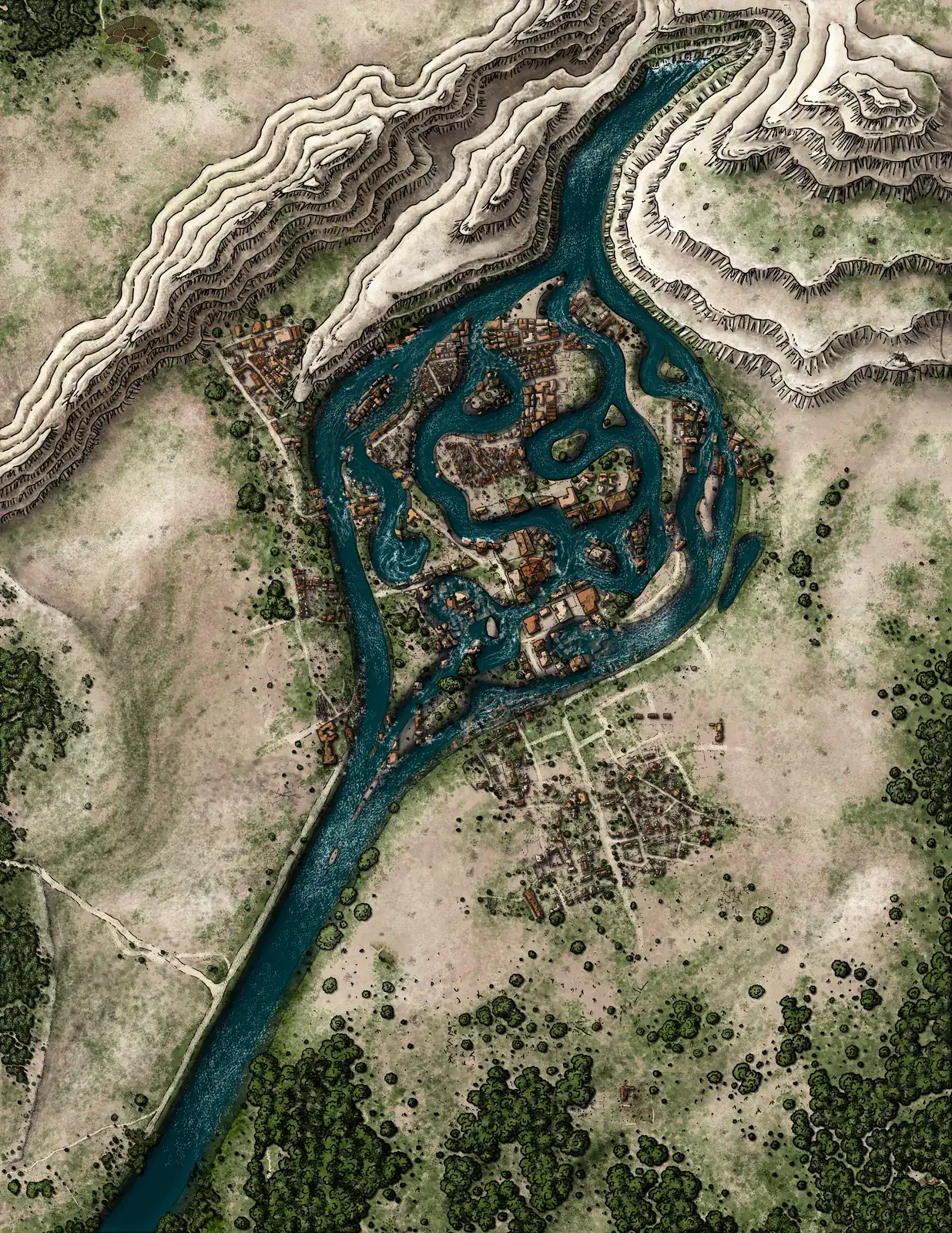
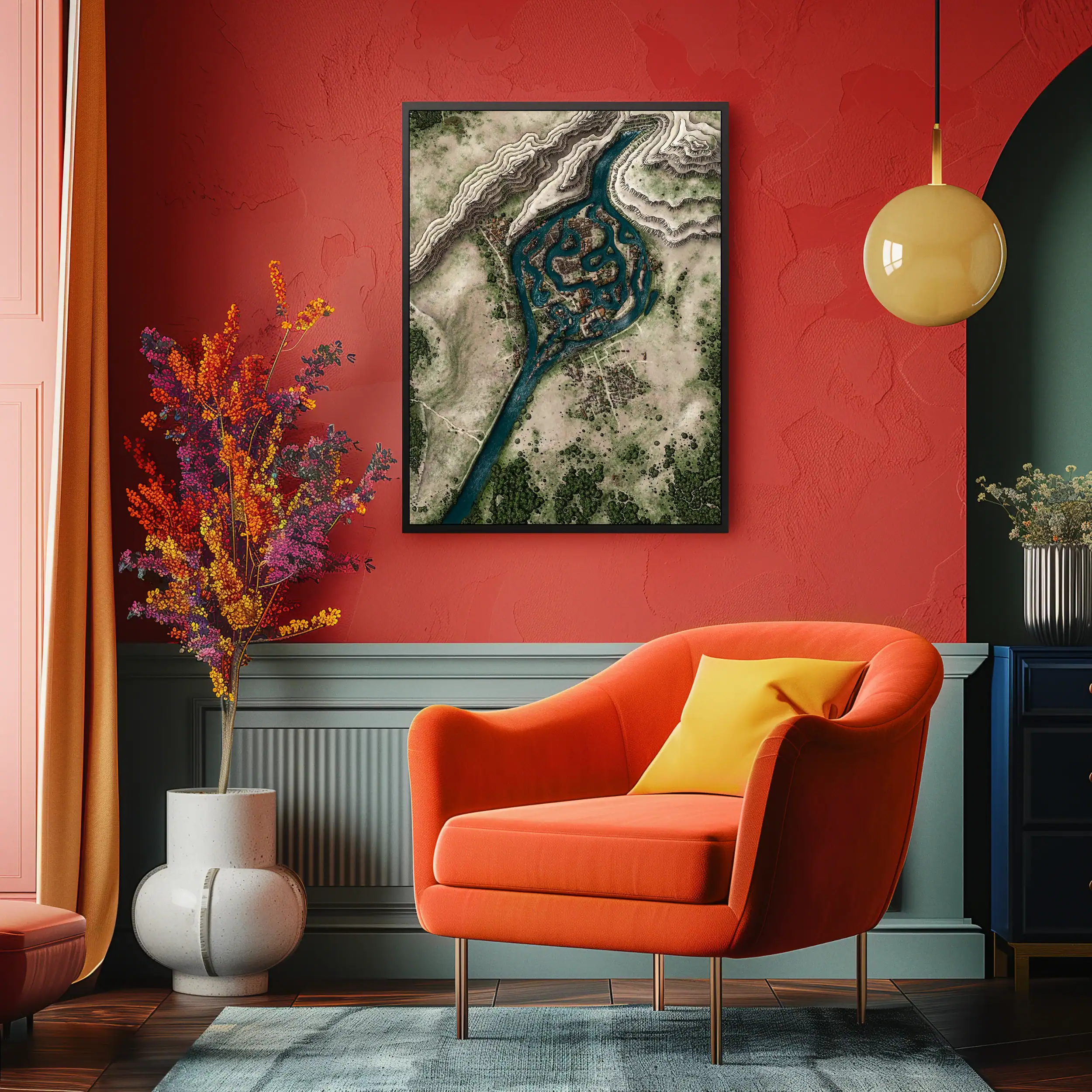
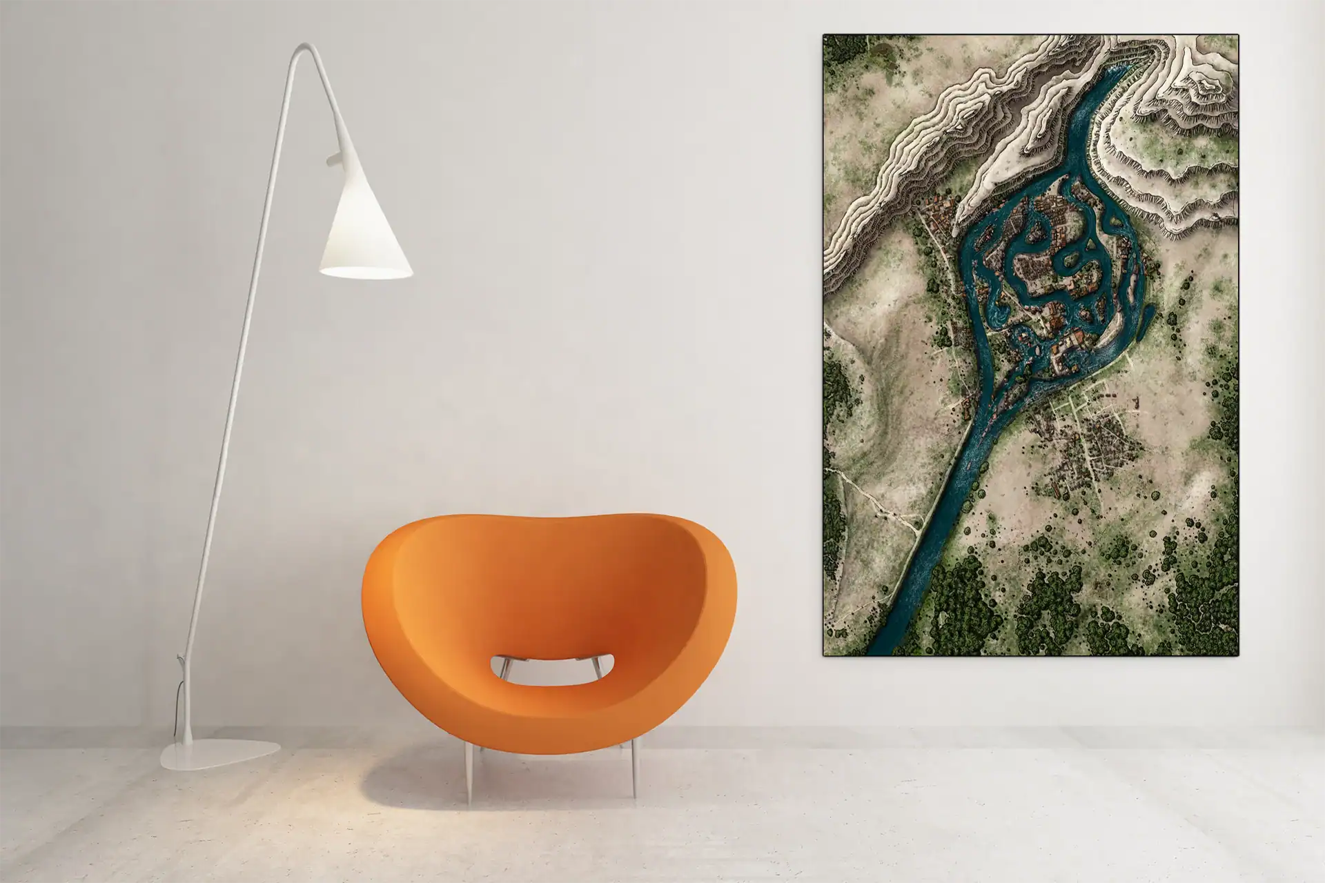
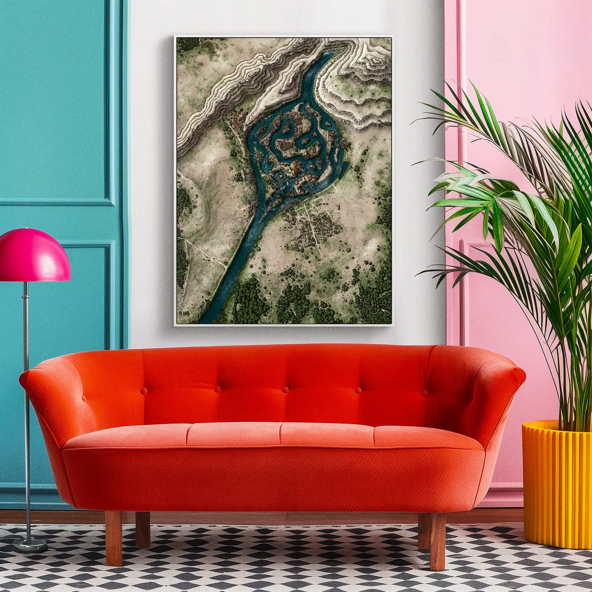
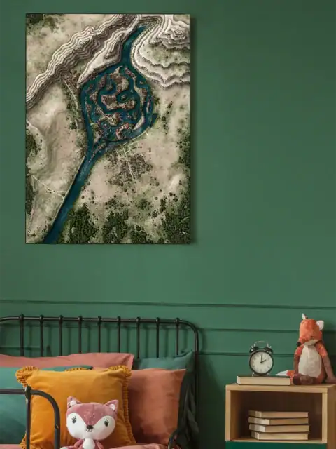
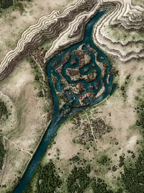
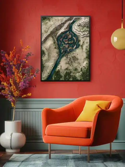


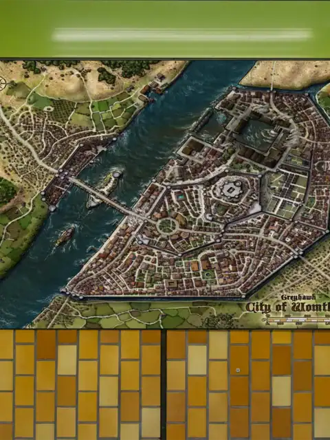
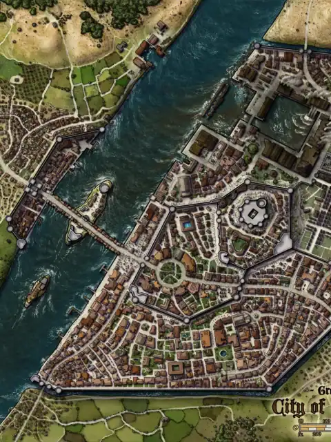
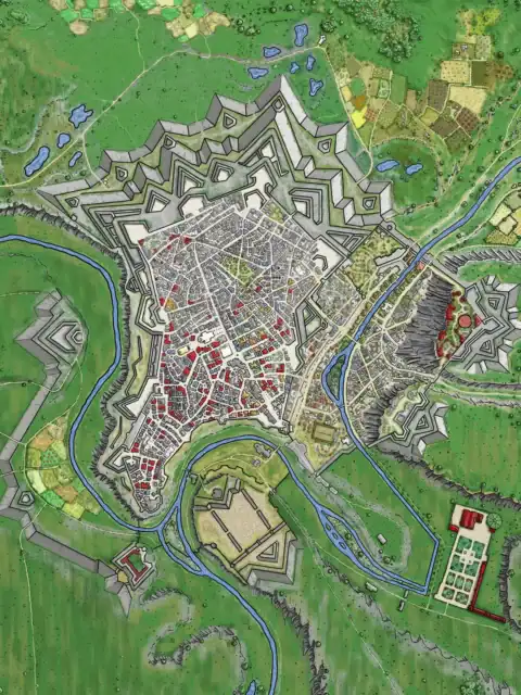
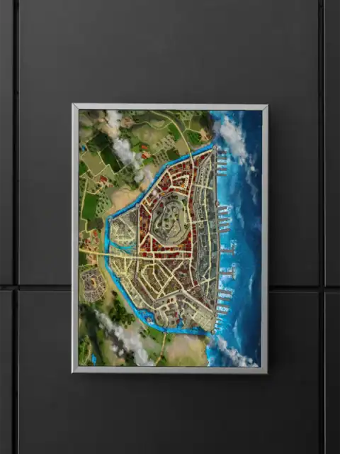
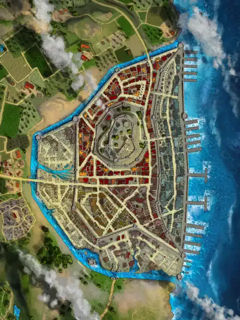
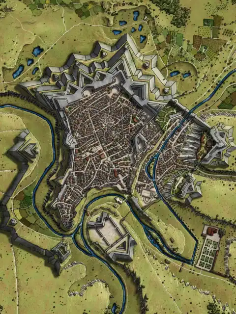
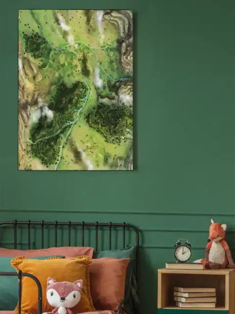
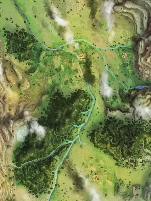
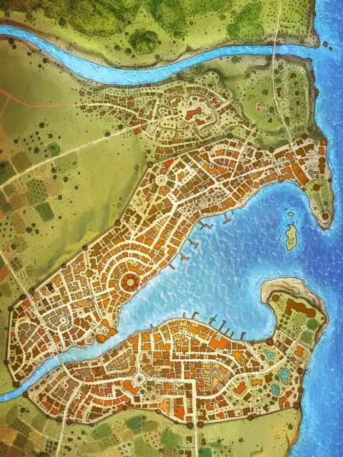
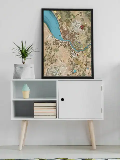
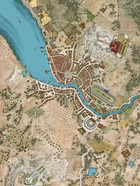
Converging waterways divide a fortified river settlement into distinct districts. This flooded town ac fantasy map canvas print captures an aerial perspective of strategic urban planning. Notably, turquoise canals separate tan rooftops in concentric rings.
Notably, pale beige flatlands extend beyond the settlement boundaries toward distant mountain ranges. Traditional hachure lines define the elevated terrain with cartographic precision. Dark green vegetation dots the surrounding landscape between white connecting pathways.
Owning this declares your appreciation for strategic settlement design and waterway engineering. Dungeon masters and worldbuilders recognize the tactical complexity of canal-based urban planning. Moreover, this flooded town ac fantasy map canvas print anchors collections focused on civilization infrastructure.
About This Canvas Print
- Printed on premium artist-grade canvas using archival inks rated for 100+ years of fade resistance
- Flat canvas print — no frame, no matting, giving you complete flexibility to display it your way
- The 1.5-inch border on all sides is designed for gallery wrapping around a stretcher frame or standard framing — the image area stays fully intact
- High-resolution printing captures fine line detail, color gradients, and subtle textures across the full image
- Printed and shipped from the USA — ready to display, frame, or wrap when it arrives
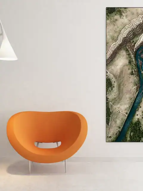
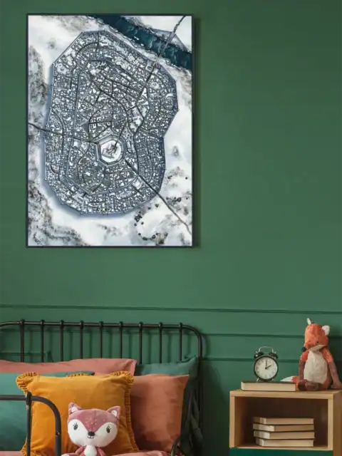
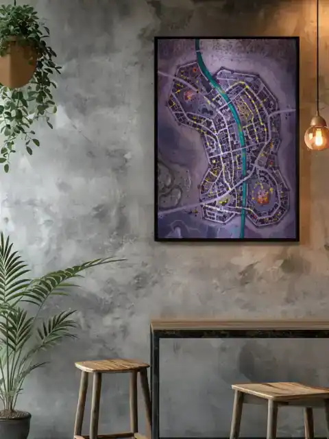
Display Ideas
Home office planning sessions benefit from studying this settlement’s defensive water barriers. Furthermore, the aerial perspective supports tactical discussions about urban siege scenarios.
About the Artist
This canvas print reproduces original artwork by Alyssa Faden Cartography. Noble Dwarf is an authorized print partner — all prints are produced with the creator’s permission on archival canvas with 100-year fade-resistant inks.
Only logged in customers who have purchased this product may leave a review.
Production & Shipping
All Noble Dwarf items are produced to order. Please allow up to 2 weeks for production before your order ships.
Many items ship sooner depending on current production volume, but during high-demand periods or convention season, the full production window may apply.
Once production is complete, you will receive tracking information automatically via email. Shipping time varies based on carrier and destination.
If you have a deadline or special request, please contact us prior to ordering and we will do our best to accommodate.
Alyssa Faden Cartography
Alyssa Faden Cartography

Alyssa Faden Cartography

Alyssa Faden Cartography
Alyssa Faden Cartography
Alyssa Faden Cartography
Related products
Alyssa Faden Cartography
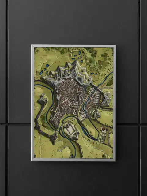
Luxemburg Star Fortress Ac Fantasy Art Print from Alyssa Faden
Alyssa Faden Cartography

Alyssa Faden Cartography
Alyssa Faden Cartography

Alyssa Faden Cartography
Alyssa Faden Cartography
Alyssa Faden Cartography
Alyssa Faden Cartography
Reviews
There are no reviews yet.