


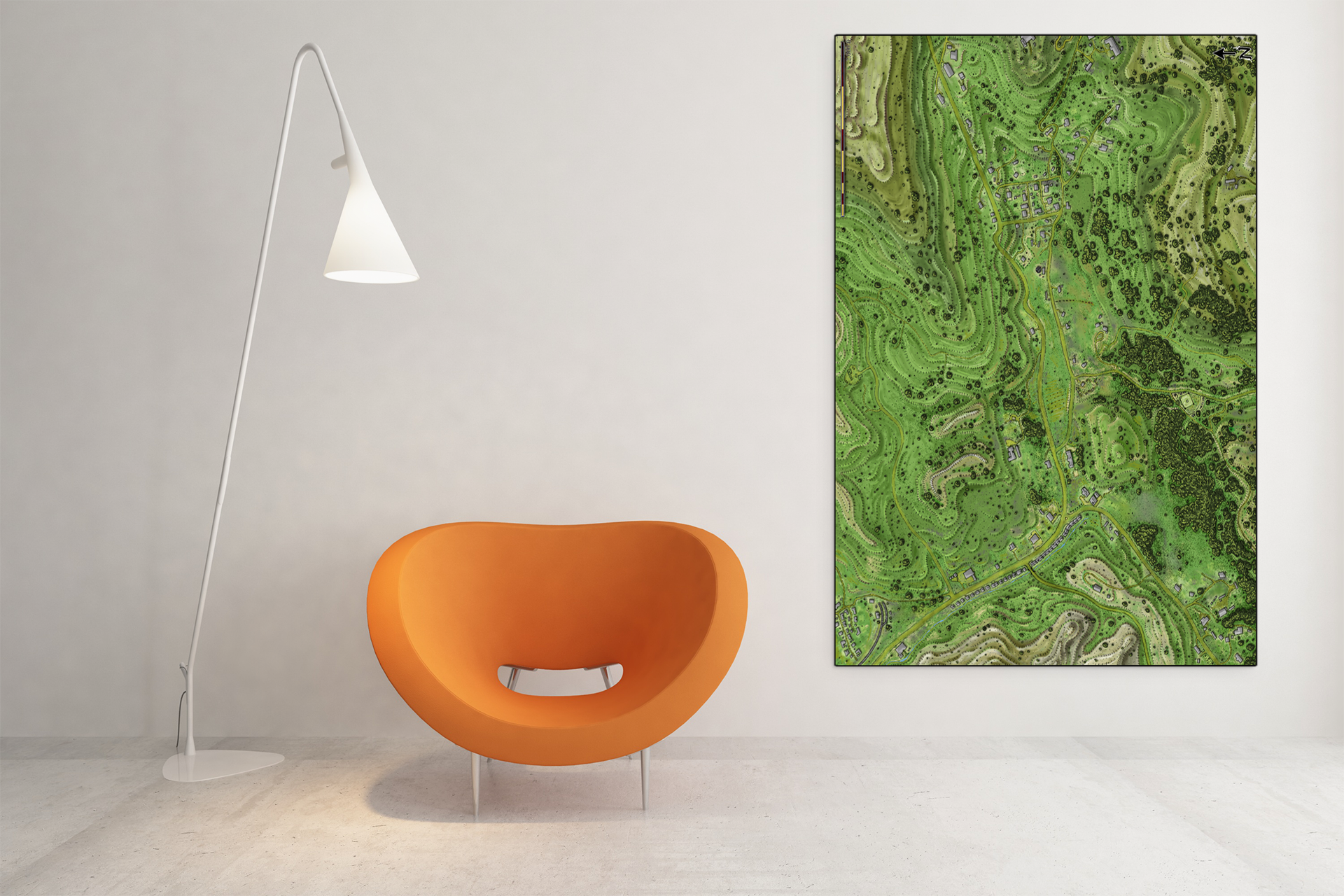


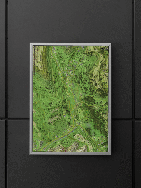
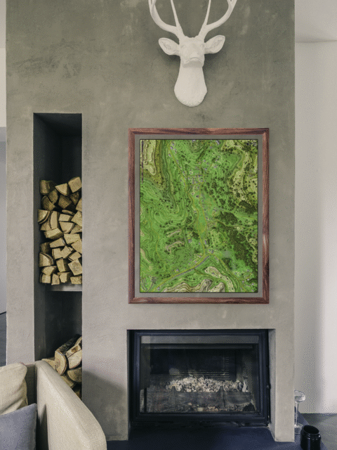


Contour lines define rolling pastoral terrain with terraced hillsides and scattered forest patches rendered in layered greens. This grassy spur fantasy map canvas print depicts a rural settlement connected by a central road. With dense woodland clustered along the eastern edge. In particular, the topographical rendering provides clear elevation detail through precise contour intervals.
Additionally, small rectangular structures mark the village center where the road widens into a crossroads. The forest patches appear as tight clusters of dark green circles indicating mature tree canopy. The color palette, moreover, separates agricultural land from wooded terrain through deliberate tonal shifts.
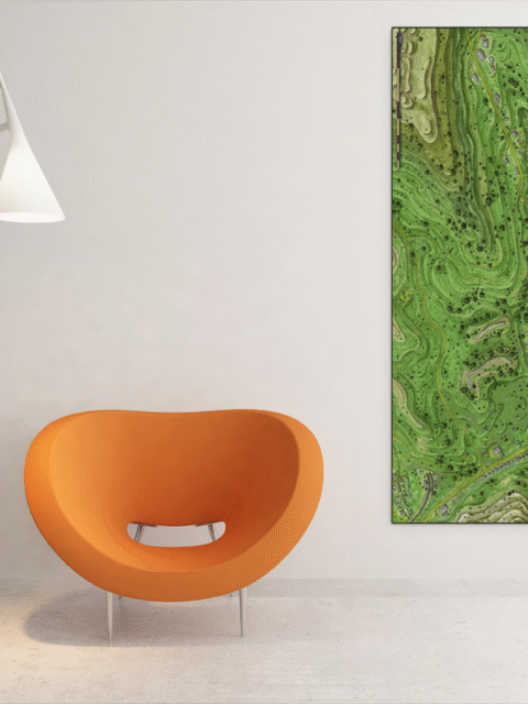
The tactical clarity holds at display scale. Where the scale bar and compass indicator remain legible from across the room. This grassy spur fantasy map canvas print works for game masters who need visual reference during tabletop sessions. Particularly, the overhead perspective provides immediate spatial understanding of terrain and movement.
About This Canvas Print
- Printed on premium artist-grade canvas using archival inks rated for 100+ years of fade resistance
- Flat canvas print — no frame, no matting, giving you complete flexibility to display it your way
- The 1.5-inch border on all sides is designed for gallery wrapping around a stretcher frame or standard framing — the image area stays fully intact
- High-resolution printing captures fine line detail, color gradients, and subtle textures across the full image
- Printed and shipped from the USA — ready to display, frame, or wrap when it arrives
Display Ideas
Built for campaign planning walls where terrain features need to stay visible during multi-session arcs. Additionally, the contour detail supports tactical discussions without requiring constant rulebook reference.
Only logged in customers who have purchased this product may leave a review.
Production & Shipping
All Noble Dwarf items are produced to order. Please allow up to 2 weeks for production before your order ships.
Many items ship sooner depending on current production volume, but during high-demand periods or convention season, the full production window may apply.
Once production is complete, you will receive tracking information automatically via email. Shipping time varies based on carrier and destination.
If you have a deadline or special request, please contact us prior to ordering and we will do our best to accommodate.


Alyssa Faden Cartography


Alyssa Faden Cartography


Alyssa Faden Cartography


Alyssa Faden Cartography


Alyssa Faden Cartography


Alyssa Faden Cartography
Related products
Alyssa Faden Cartography


Alyssa Faden Cartography


Alyssa Faden Cartography


Alyssa Faden Cartography
Alyssa Faden Cartography


Alyssa Faden Cartography


Alyssa Faden Cartography


Alyssa Faden Cartography
Rayley Alternate Color City Map by Alex – Archival Canvas Print
Reviews
There are no reviews yet.