
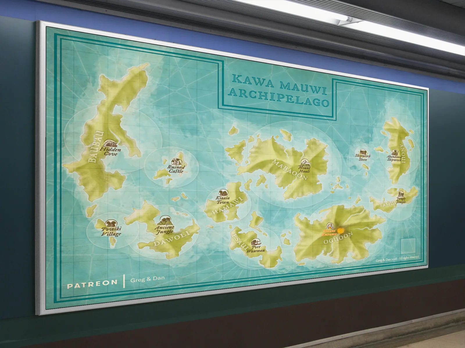
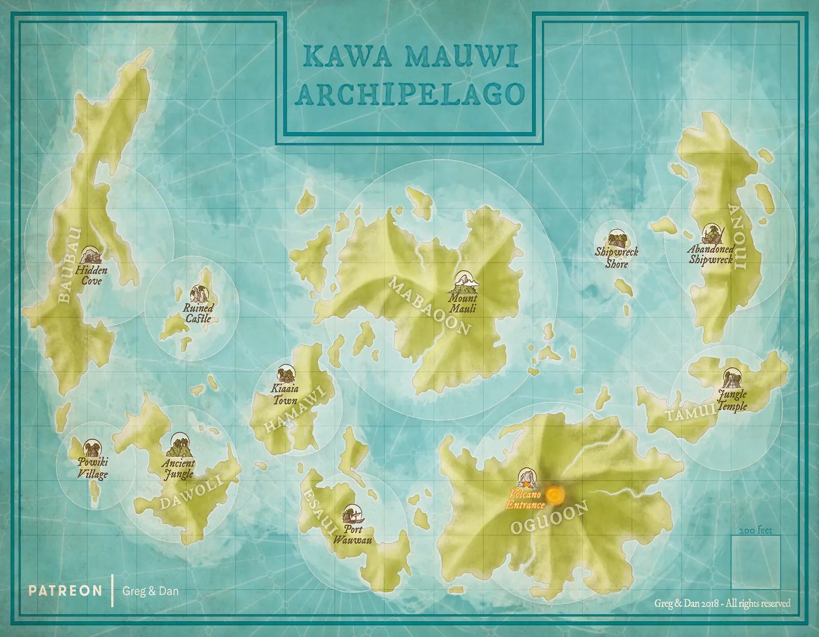

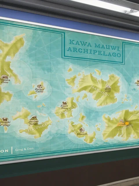
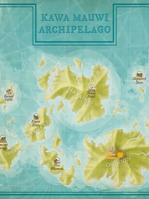


The Kawa Mauwi Archipelago Fantasy Map depicts a scattered chain of tropical islands surrounded by open seas and navigational markings. Each island features distinct landmarks such as ruined castles, volcanic terrain, jungle temples, and abandoned shores, creating a cohesive setting built for exploration and discovery. As a result, the map conveys both geographic clarity and narrative depth.
Moreover, the circular map markers and clean island separation make this archipelago easy to use in long-term campaigns. Travel routes, hidden locations, and regional hubs are clearly readable without overwhelming detail. Consequently, the map works especially well for seafaring adventures, island-hopping campaigns, and sandbox-style storytelling.
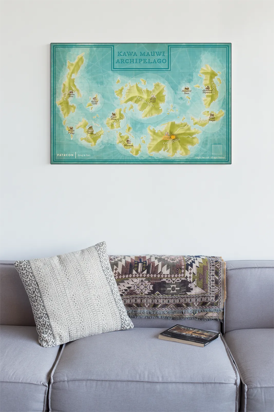
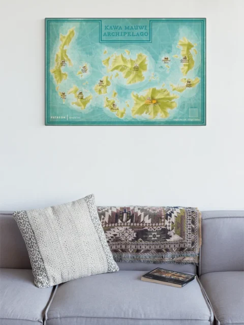
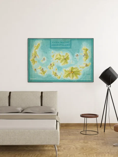
Finally, the Kawa Mauwi Archipelago Fantasy Map functions equally well as a practical reference and a display piece. Above all, it supports worldbuilders who need a believable island network while offering a visually balanced design suitable for long-term wall display.
Features
Multi-island fantasy archipelago with distinct regions
Clearly labeled landmarks, including ruins, temples, and ports
Designed for nautical travel, exploration, and regional storytelling
Clean cartographic layout with navigational styling
Produced on archival-grade material for lasting display
Use Cases
Ideal for Dungeon Masters running seafaring campaigns, writers developing island-based fantasy worlds, or collectors seeking large-scale fantasy archipelago maps with strong visual structure.
Only logged in customers who have purchased this product may leave a review.
Production & Shipping
All Noble Dwarf items are produced to order. Please allow up to 2 weeks for production before your order ships.
Many items ship sooner depending on current production volume, but during high-demand periods or convention season, the full production window may apply.
Once production is complete, you will receive tracking information automatically via email. Shipping time varies based on carrier and destination.
If you have a deadline or special request, please contact us prior to ordering and we will do our best to accommodate.


Daniel's Maps
Daniel's Maps
Daniel's Maps
Related products


Alyssa Faden Cartography


Alyssa Faden Cartography


Alyssa Faden Cartography


Alyssa Faden Cartography


Alyssa Faden Cartography


Alyssa Faden Cartography


Alyssa Faden Cartography


Alyssa Faden Cartography
Reviews
There are no reviews yet.