
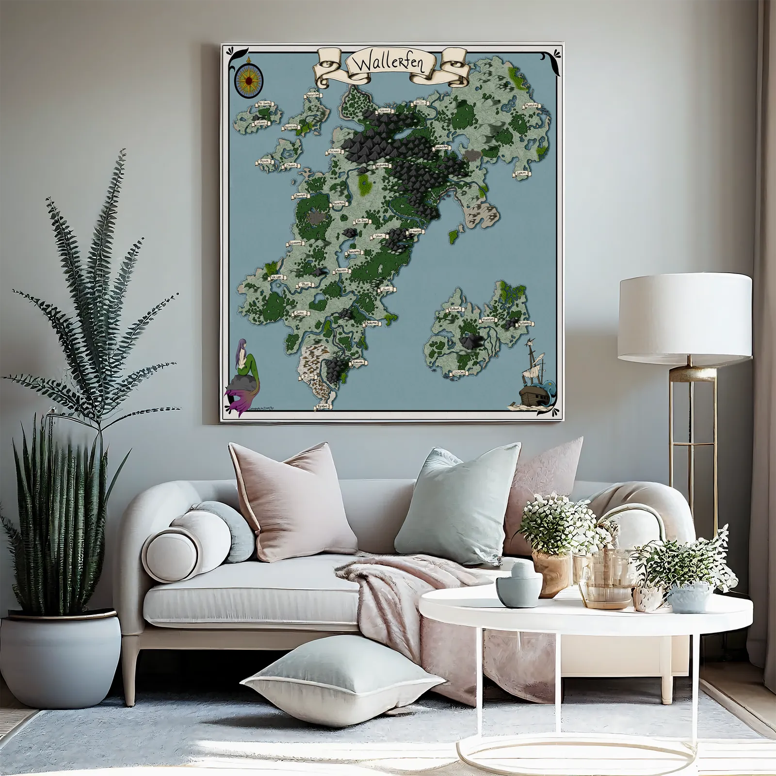
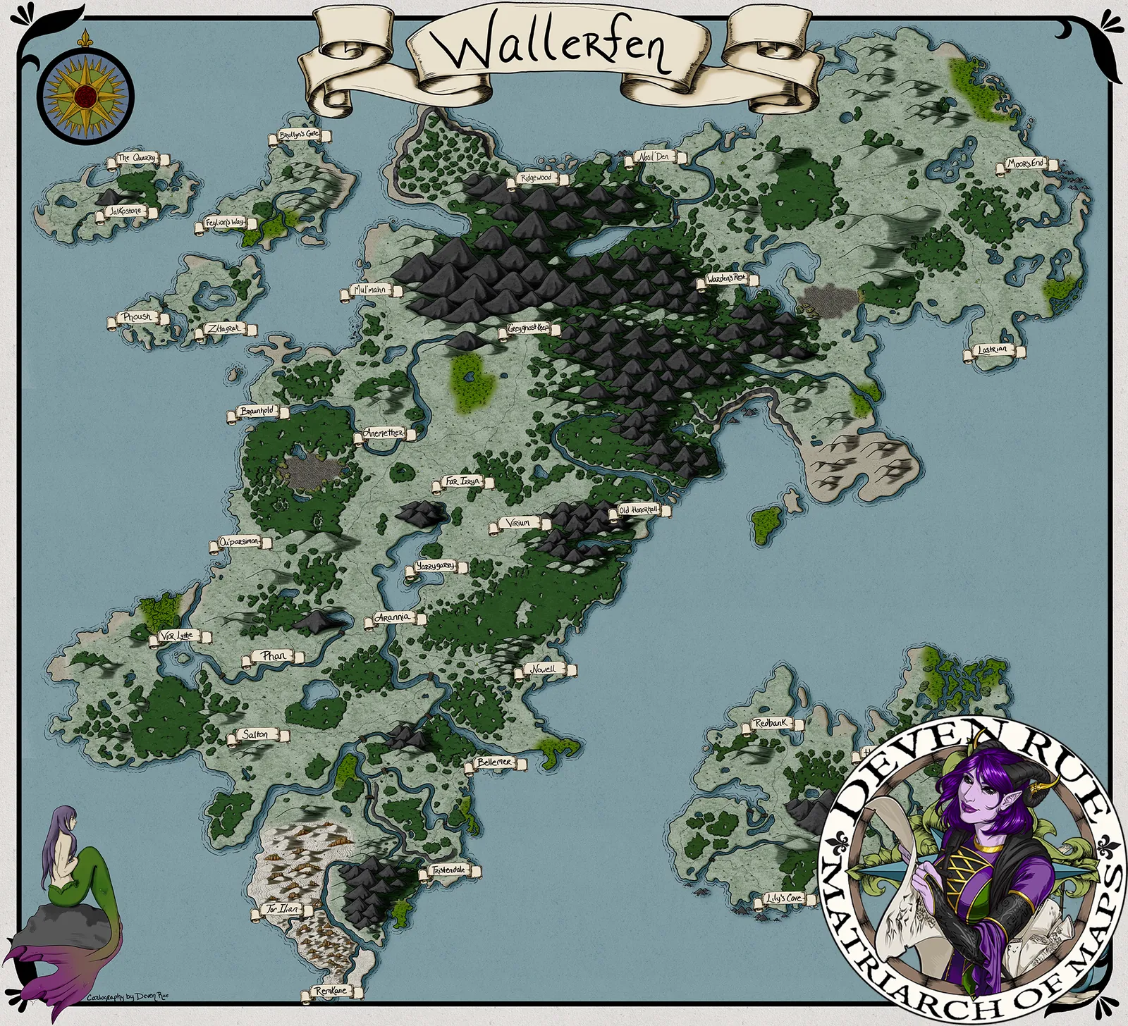


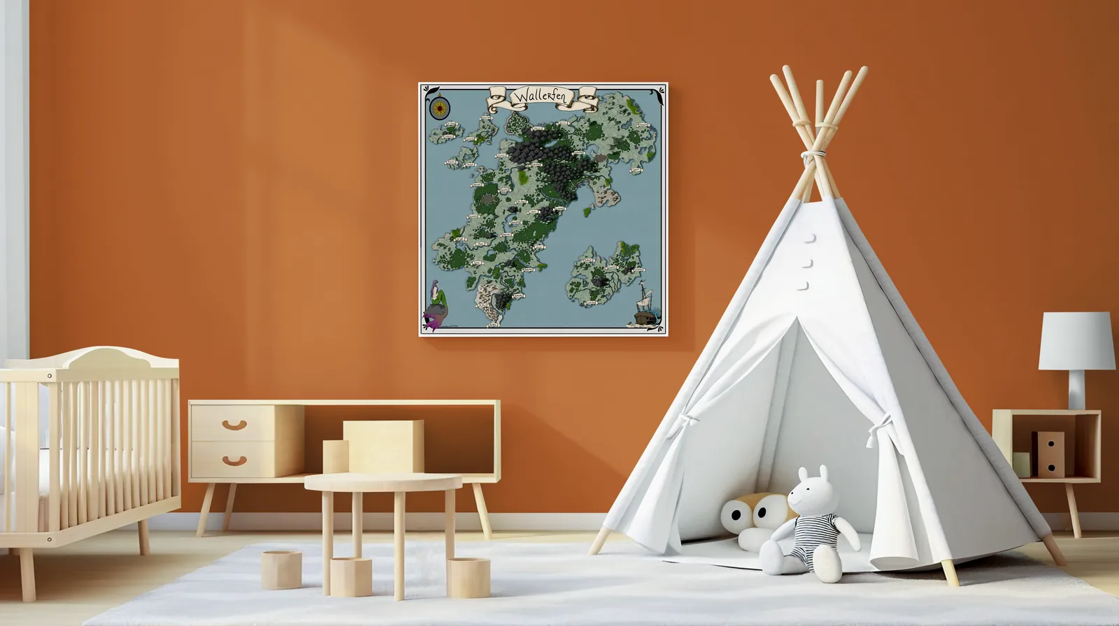
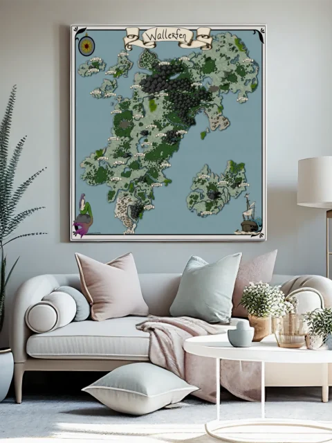
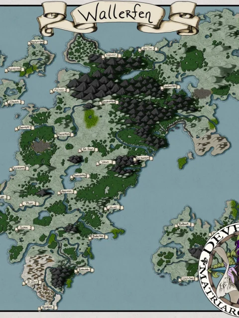


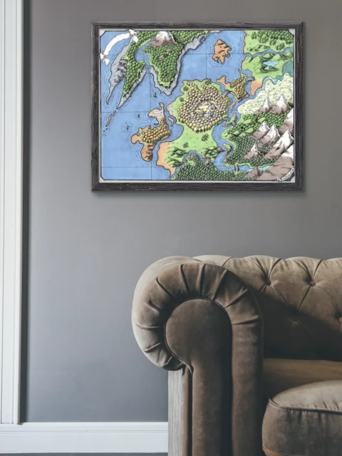
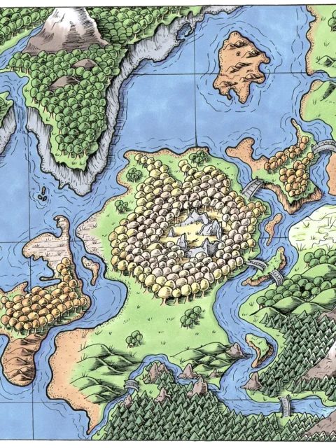
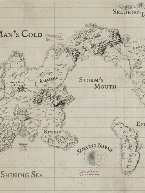
Wallerfen Map presents a sprawling realm of rugged mountains, winding rivers, and scattered settlements that suggest constant negotiation between nature and power. For those interested in unique decor, the Wallerfen Map gallery canvas wall art beautifully captures this dynamic landscape. Moreover, the dense highlands and branching waterways imply contested travel and guarded borders. Consequently, tension emerges from geography rather than visible conflict.
Additionally, the composition guides the eye from coastal edges through forested lowlands toward the dark central ranges. However, narrow passes and river crossings interrupt easy movement, shaping strategic decisions. Moreover, the overhead perspective supports clear planning while maintaining an illustrated, story-driven tone.
Finally, cool blues balance layered greens and deep stone hues for strong visual impact. Consequently, terrain divisions remain readable at a glance. Moreover, restrained shading and crisp linework reinforce scale, distance, and regional identity.
Features
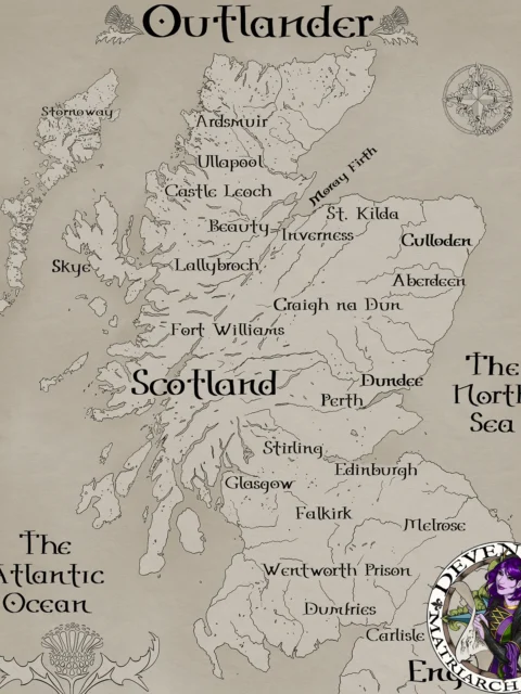
Hand-illustrated continental geography with named regions
Clear top-down layout for strategic reference
Distinct terrain zones and natural borders
Balanced detail for narrative clarity
Printed on archival canvas
Use Cases
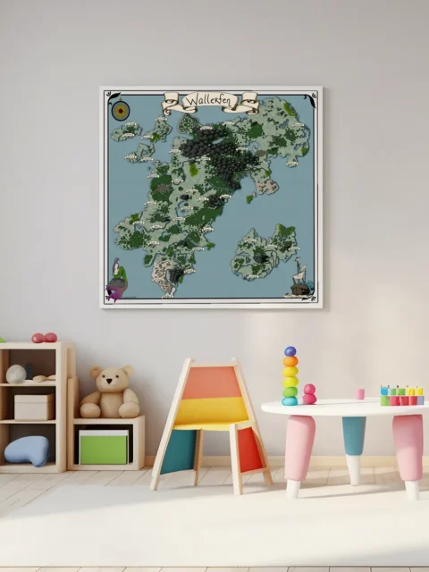
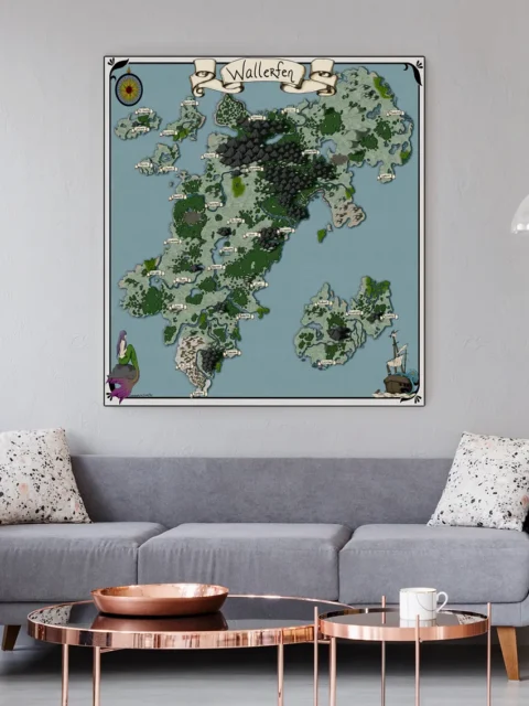
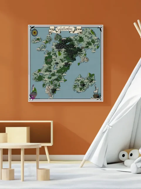
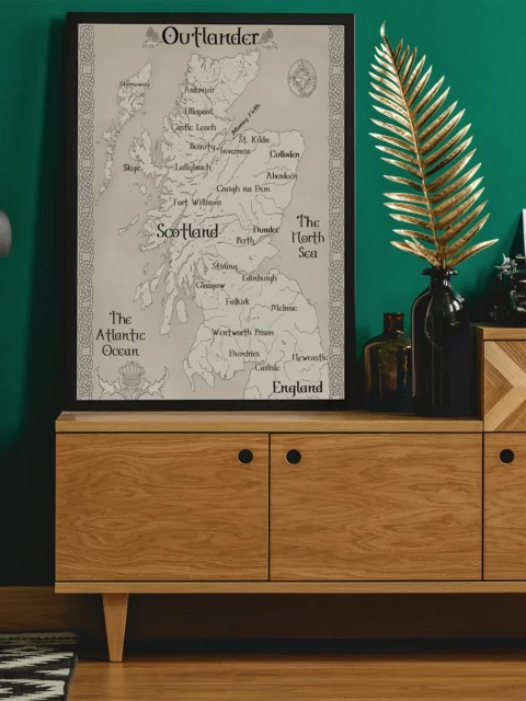
Moreover, collectors, gamers, and tabletop fans can display this map on a wall, studio, game room, or creative space to support long-form campaigns, regional travel, and immersive worldbuilding.
Only logged in customers who have purchased this product may leave a review.
Production & Shipping
All Noble Dwarf items are produced to order. Please allow up to 2 weeks for production before your order ships.
Many items ship sooner depending on current production volume, but during high-demand periods or convention season, the full production window may apply.
Once production is complete, you will receive tracking information automatically via email. Shipping time varies based on carrier and destination.
If you have a deadline or special request, please contact us prior to ordering and we will do our best to accommodate.


Related products


Alyssa Faden Cartography


Alyssa Faden Cartography


Alyssa Faden Cartography


Alyssa Faden Cartography
Rayley Alternate Color City Map by Alex – Archival Canvas Print


Alyssa Faden Cartography


Alyssa Faden Cartography


Alyssa Faden Cartography


Alyssa Faden Cartography
Reviews
There are no reviews yet.