

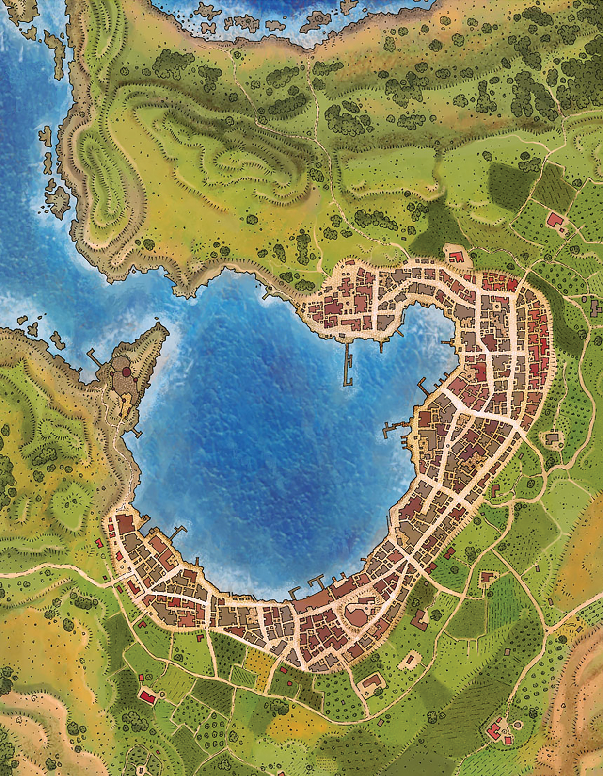


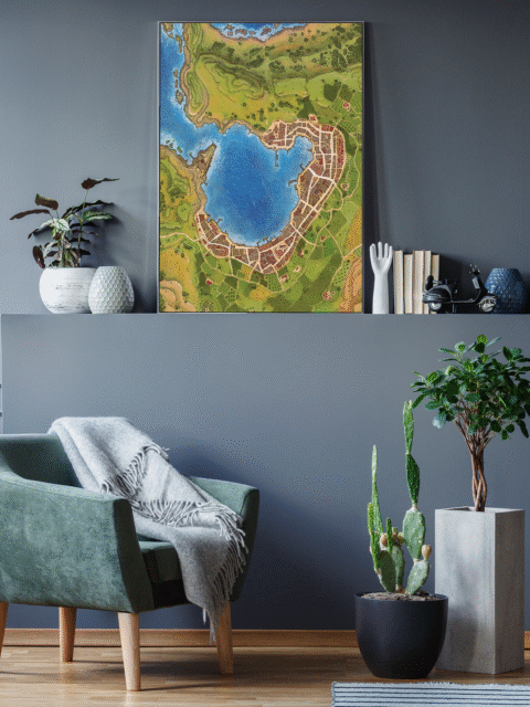


An Gearesdan spreads across rolling green terrain marked by scattered settlements and carefully labeled borders. This an gearesdan fantasy map canvas print captures a broad regional view with clear political divisions and waterways. Notably, the topographic rendering gives depth to hills and valleys without sacrificing label clarity.
Furthermore, the coastal regions show detailed shoreline features with harbor towns positioned at strategic points. Forested areas appear in darker green clusters that define natural boundaries between territories. The label typography, moreover, uses varied scales to distinguish major cities from smaller hamlets.
At display scale, the full geography becomes readable from multiple viewing distances across the room. Road networks connect population centers in patterns that suggest historical trade routes and defensive positions. This an gearesdan fantasy map canvas print works particularly well for collectors who study regional layout and settlement distribution.
About This Canvas Print
- Printed on premium artist-grade canvas using archival inks rated for 100+ years of fade resistance
- Flat canvas print — no frame, no matting, giving you complete flexibility to display it your way
- The 1.5-inch border on all sides is designed for gallery wrapping around a stretcher frame or standard framing — the image area stays fully intact
- High-resolution printing captures fine line detail, color gradients, and subtle textures across the full image
- Printed and shipped from the USA — ready to display, frame, or wrap when it arrives
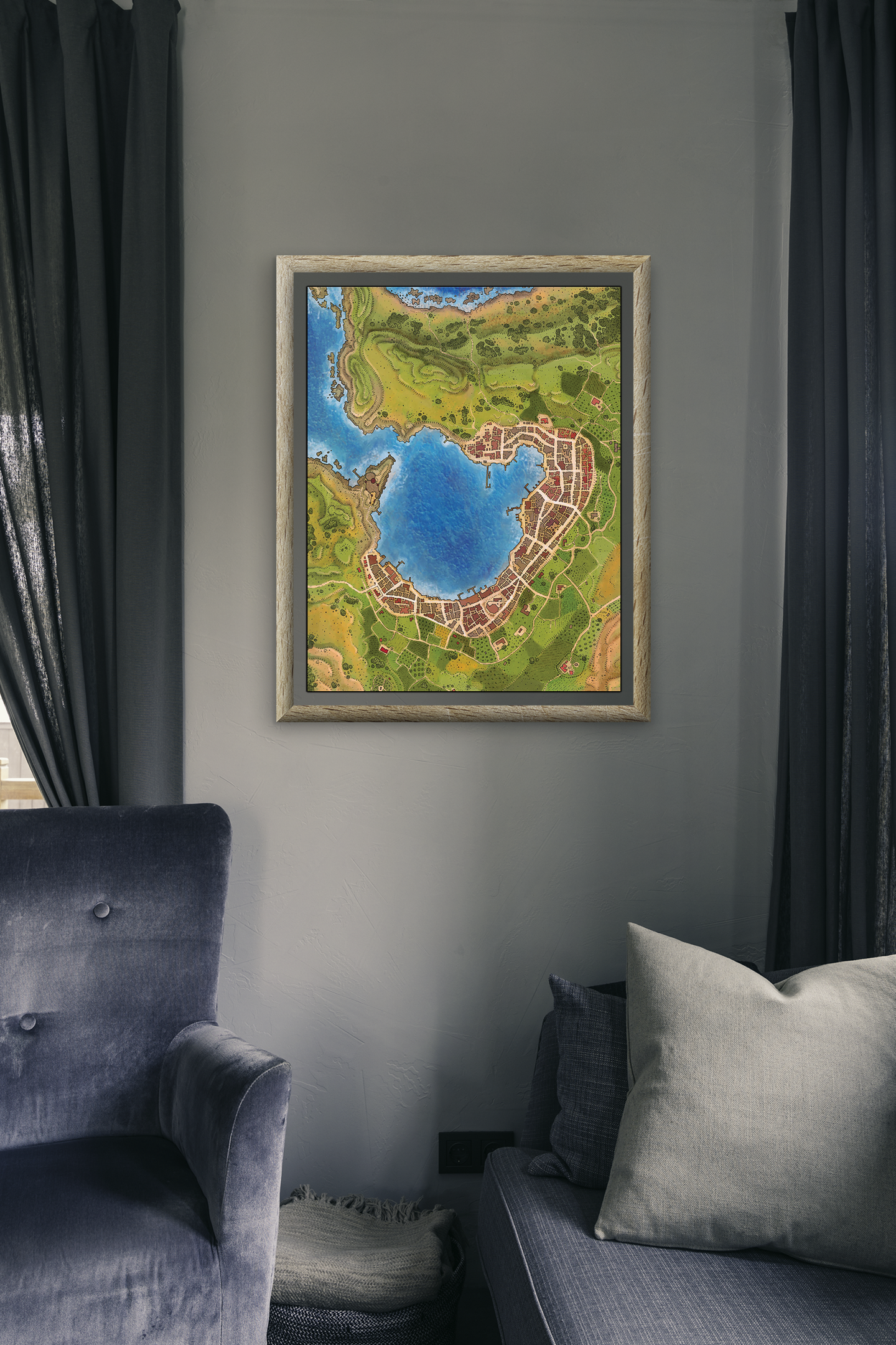
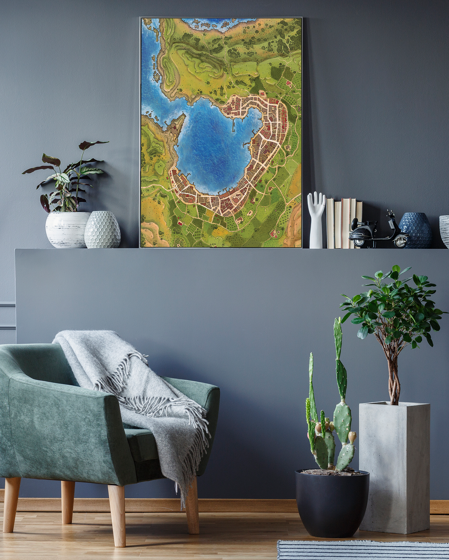
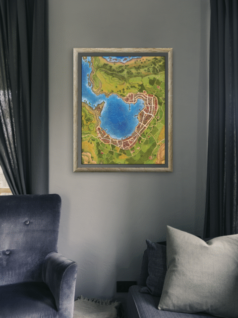
Display Ideas
Fits campaign settings that emphasize political geography and territorial control. Additionally, the clear regional boundaries support worldbuilding discussions and strategic planning sessions.
Only logged in customers who have purchased this product may leave a review.
Production & Shipping
All Noble Dwarf items are produced to order. Please allow up to 2 weeks for production before your order ships.
Many items ship sooner depending on current production volume, but during high-demand periods or convention season, the full production window may apply.
Once production is complete, you will receive tracking information automatically via email. Shipping time varies based on carrier and destination.
If you have a deadline or special request, please contact us prior to ordering and we will do our best to accommodate.


Alyssa Faden Cartography


Alyssa Faden Cartography


Alyssa Faden Cartography


Alyssa Faden Cartography


Alyssa Faden Cartography


Alyssa Faden Cartography
Related products


Alyssa Faden Cartography
Rayley Alternate Color City Map by Alex – Archival Canvas Print


Alyssa Faden Cartography


Alyssa Faden Cartography


Alyssa Faden Cartography


Alyssa Faden Cartography


Alyssa Faden Cartography


Alyssa Faden Cartography
Reviews
There are no reviews yet.