
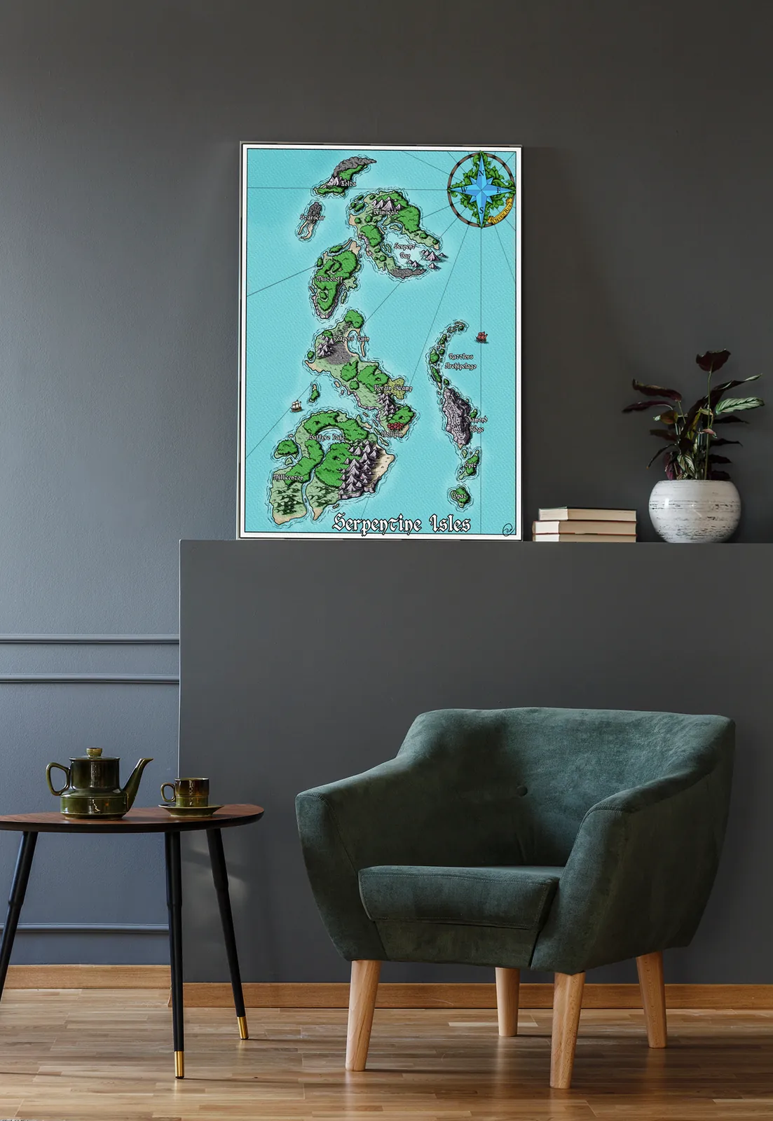

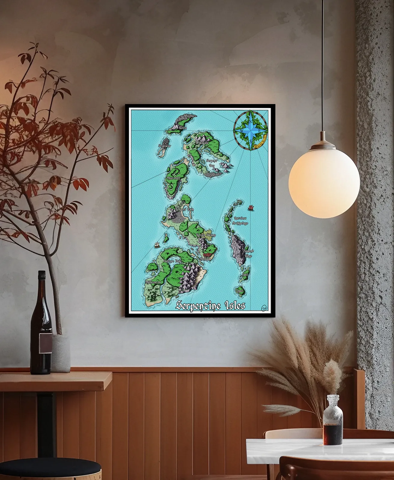
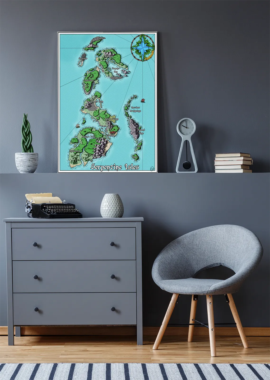
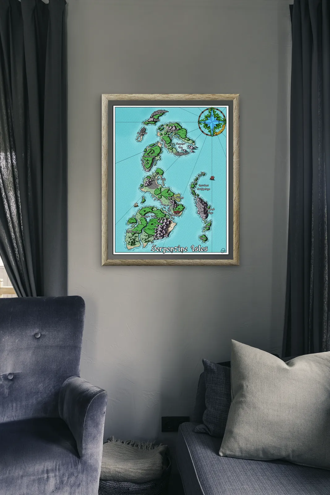
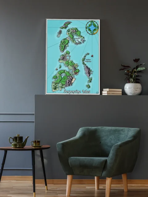
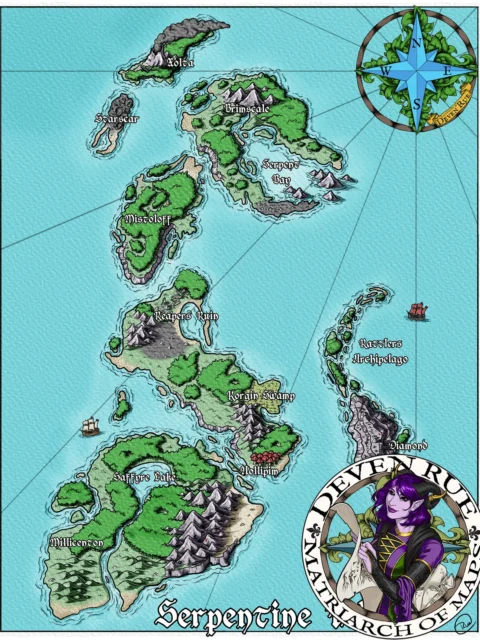

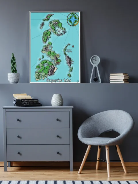
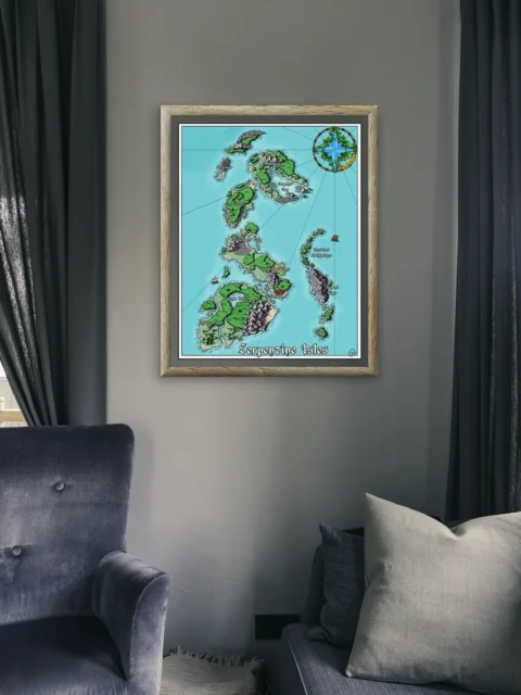

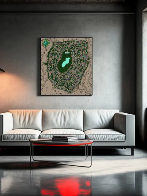
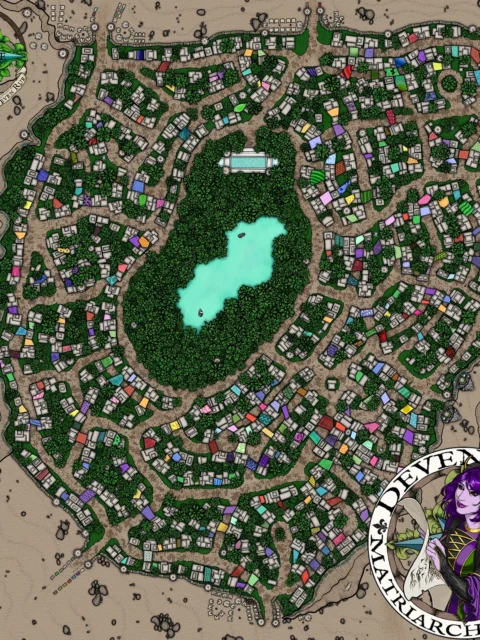
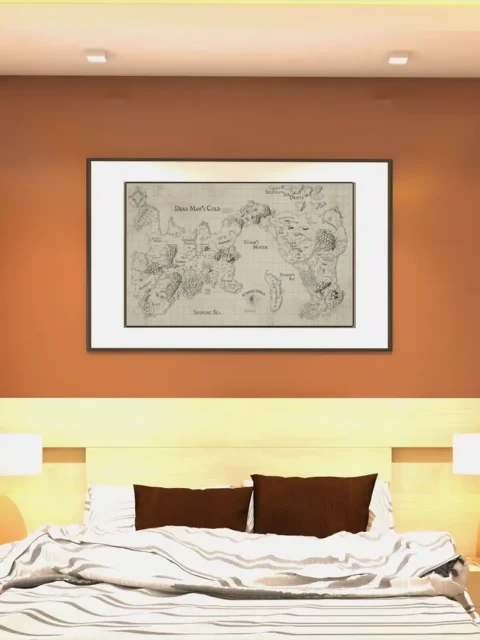
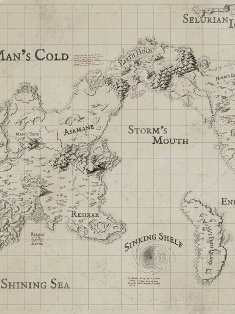
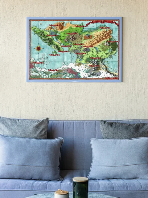
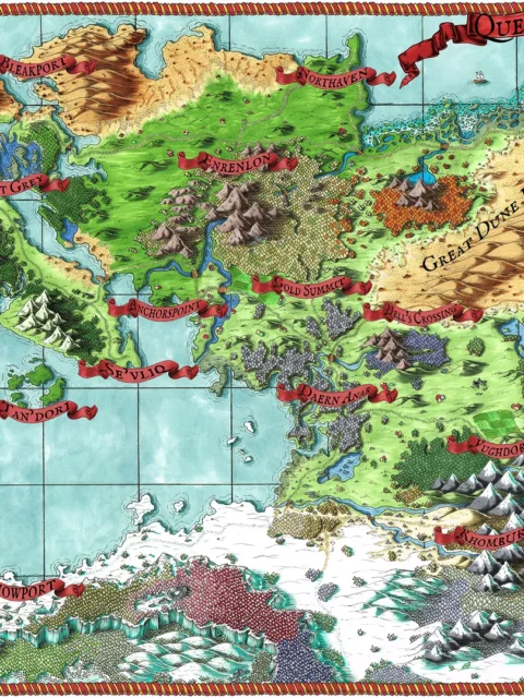
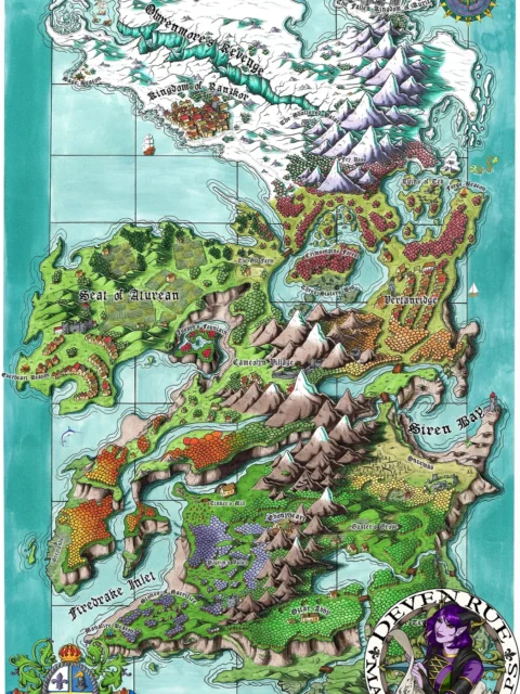
The Serpentine Isles fantasy map canvas presents a tall chain of islands in bright coastal waters. It shows a main southern landmass, several mid-chain islands, and smaller outlying rocks. The coastlines feel jagged and navigable. Moreover, the waterways create natural lanes for ships and chase scenes.
Additionally, the terrain shifts are easy to read at a glance. Mountain clusters break up the land and suggest hard travel. Meanwhile, sheltered bays hint at ports, coves, and ambush points. Therefore, this piece supports quick table reference during play. It also works as a setting anchor on the wall.
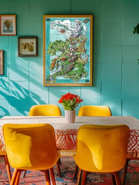
However, the map still rewards close viewing. You can trace island-to-island routes and spot likely danger zones. As a result, it fits campaigns built around exploration, trade, or raiding. Finally, the vertical composition makes it stand out in a gallery layout.
Features list
High-detail illustrated island chain with clear coastlines
Terrain variety with mountains, coves, and small islets
Vertical composition that reads well from a distance
Great reference piece for nautical and exploration campaigns
Clean labeling space for GMs to add notes or pins
Use Cases paragraph
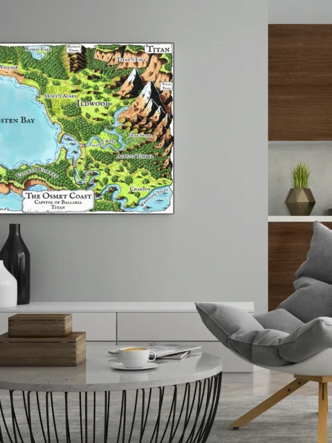
Use this for seafaring adventures, pirate arcs, island hopping quests, or a homebrew archipelago setting. It also makes a strong backdrop for streaming tables and game rooms.
Only logged in customers who have purchased this product may leave a review.
Production & Shipping
All Noble Dwarf items are produced to order. Please allow up to 2 weeks for production before your order ships.
Many items ship sooner depending on current production volume, but during high-demand periods or convention season, the full production window may apply.
Once production is complete, you will receive tracking information automatically via email. Shipping time varies based on carrier and destination.
If you have a deadline or special request, please contact us prior to ordering and we will do our best to accommodate.
Related products


Alyssa Faden Cartography


Alyssa Faden Cartography


Alyssa Faden Cartography


Alyssa Faden Cartography


Alyssa Faden Cartography


Alyssa Faden Cartography


Alyssa Faden Cartography

Gallery Canvas
Reviews
There are no reviews yet.