
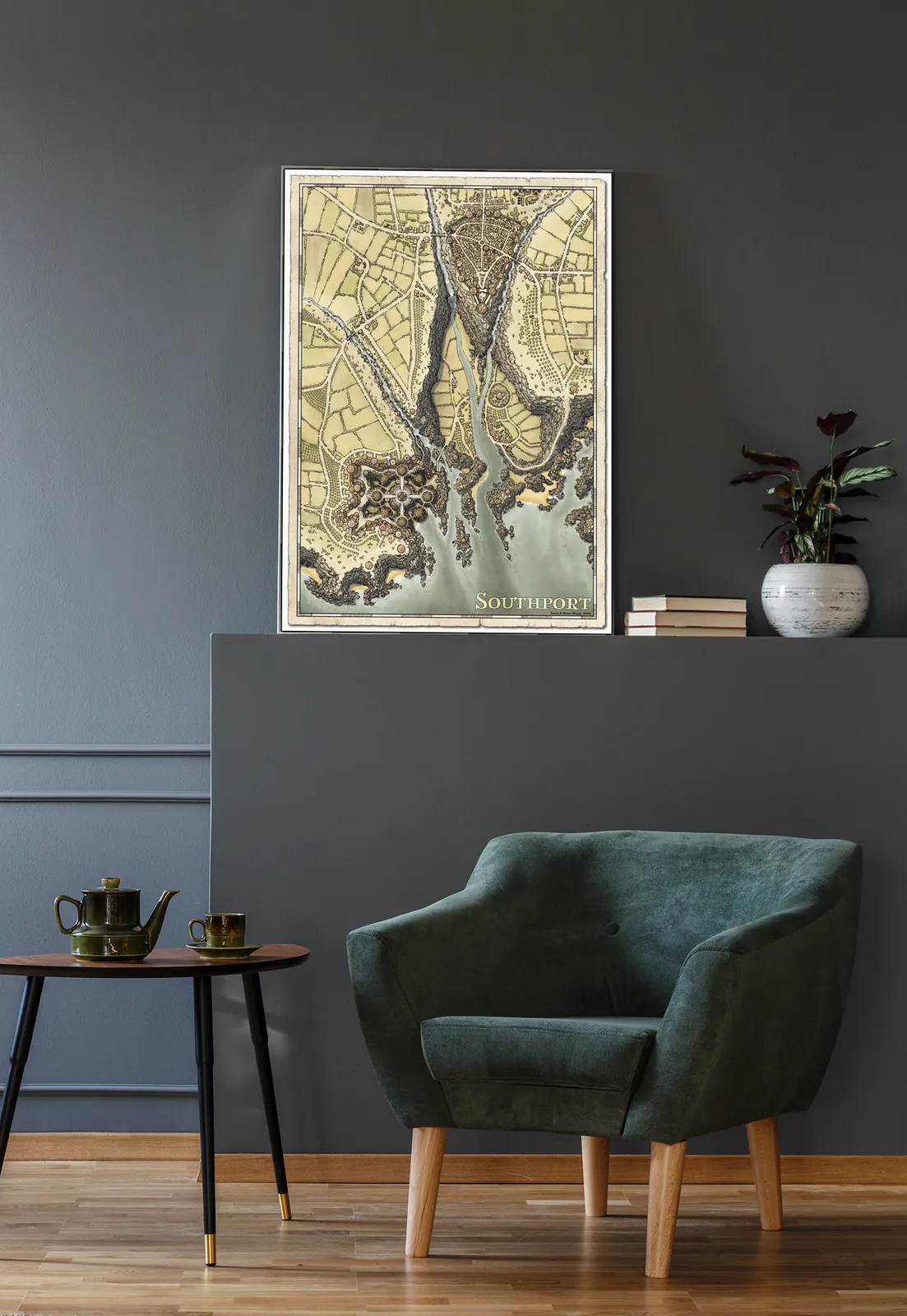
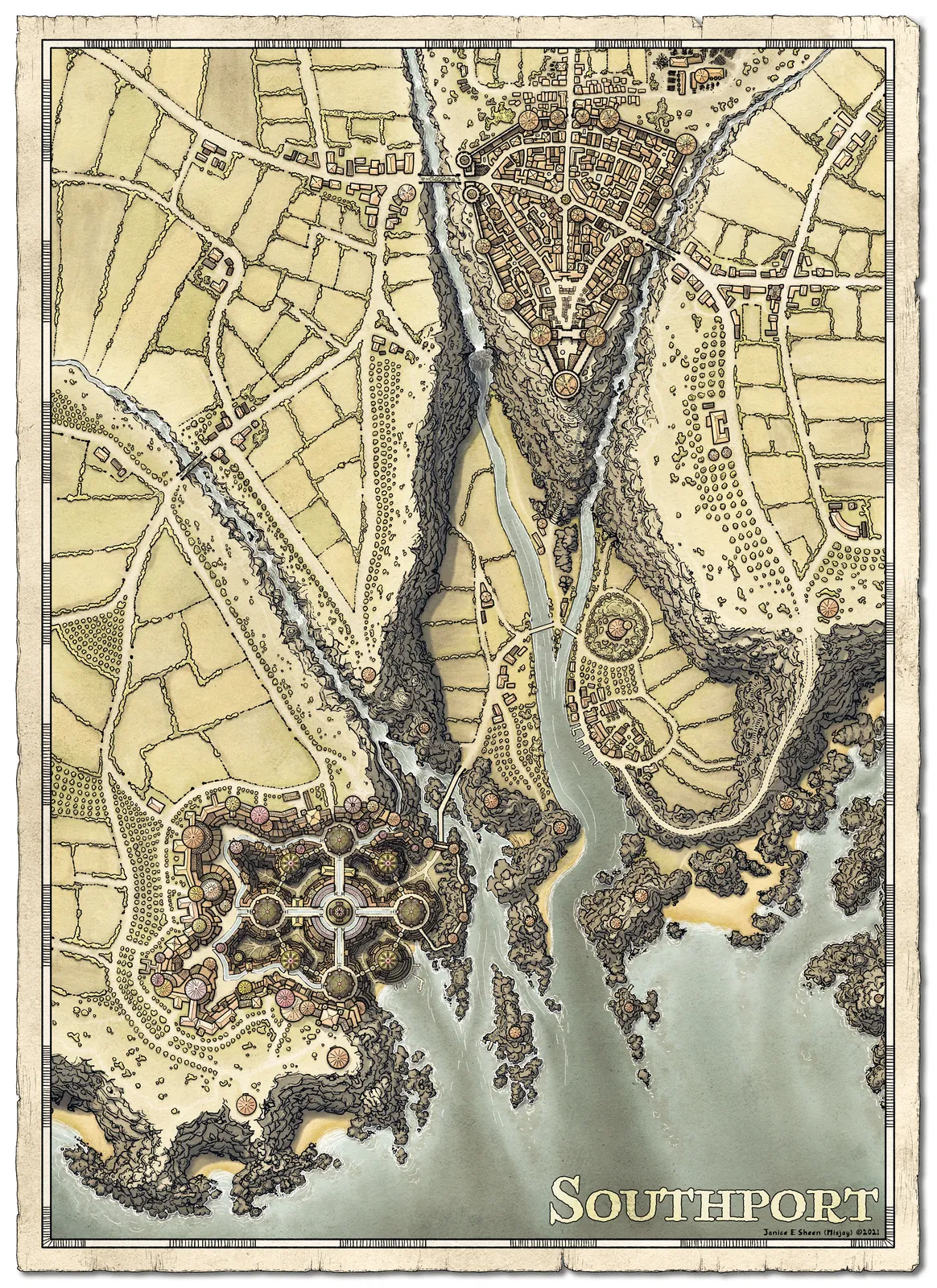
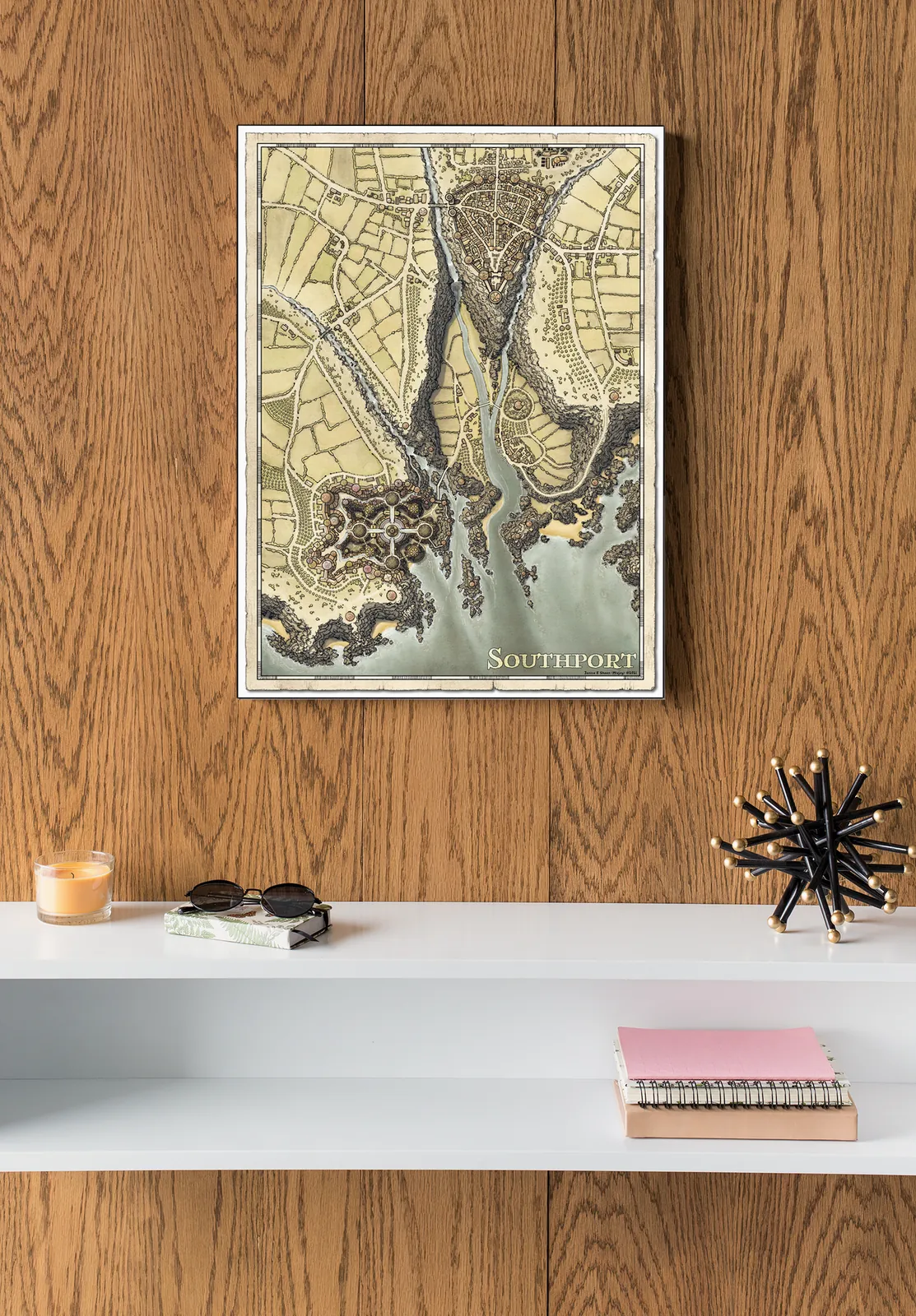
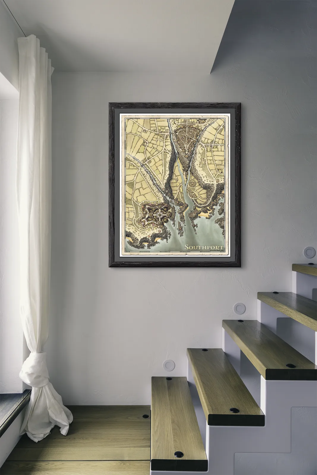
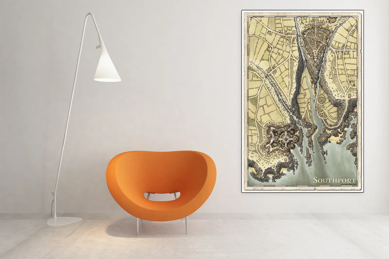

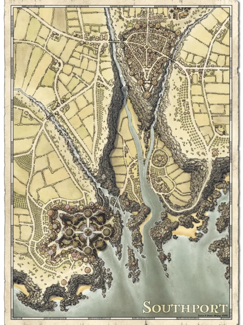
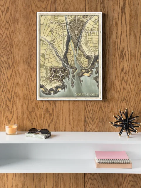
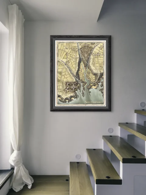
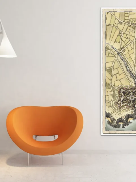


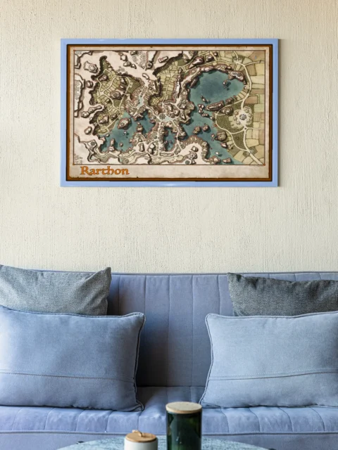
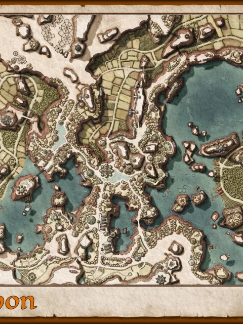
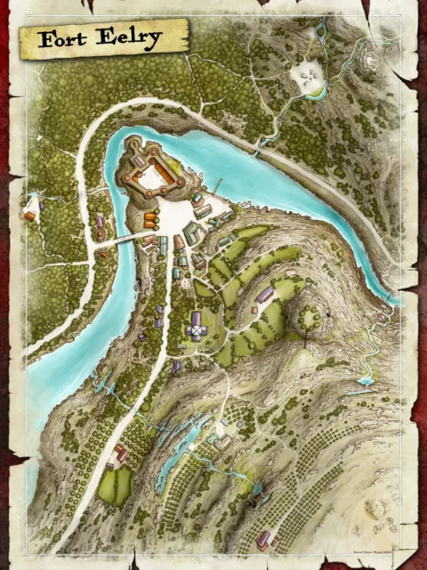
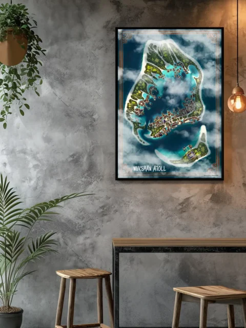
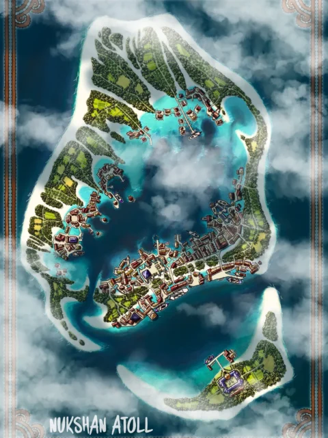
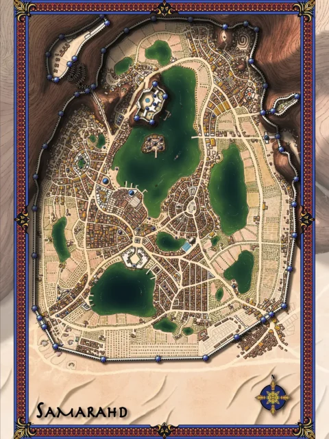
Southport Coastal City Map Gallery-Wrapped Canvas depicts a fortified harbor city divided by cliffs, waterways, and controlled approaches. Moreover, the Southport coastal city map reveals how walls, bridges, and districts respond to rugged terrain. Consequently, the settlement feels defensible, intentional, and shaped by geography on a fine art canvas.
Additionally, steep ravines guide movement between upper citadel zones and lower port quarters. However, cultivated land and road networks soften the surrounding edges. As a result, the layout balances strategic complexity with clear navigation.
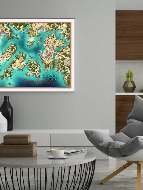
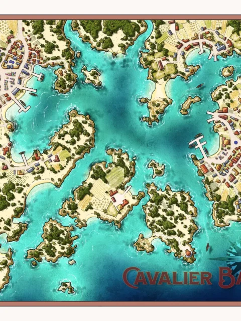
Finally, open water and negative space emphasize scale and orientation. Above all, the composition holds visual authority across a wall. Consequently, the setting communicates place, hierarchy, and story with confidence.
Features
Illustrated coastal stronghold map designed for clarity
Cliff-divided city with bridges and choke points
Fortified districts overlooking a working harbor
Hand-illustrated terrain, walls, and structures
Clear road networks and surrounding farmland
Optimized for legibility at multiple sizes
Use Cases
Moreover, this fantasy coastal city map art suits collectors who appreciate detailed cartography, gamers or tabletop fans staging port-city encounters, and anyone enhancing a wall in a studio, game room, or creative space with a defensible urban setting.
Only logged in customers who have purchased this product may leave a review.
Production & Shipping
All Noble Dwarf items are produced to order. Please allow up to 2 weeks for production before your order ships.
Many items ship sooner depending on current production volume, but during high-demand periods or convention season, the full production window may apply.
Once production is complete, you will receive tracking information automatically via email. Shipping time varies based on carrier and destination.
If you have a deadline or special request, please contact us prior to ordering and we will do our best to accommodate.
Gallery Canvas
Gallery Canvas
Gallery Canvas
Gallery Canvas
Gallery Canvas
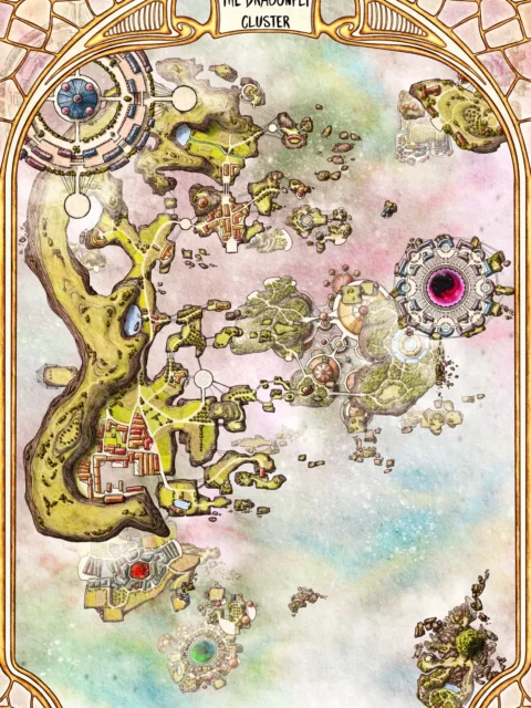
Related products


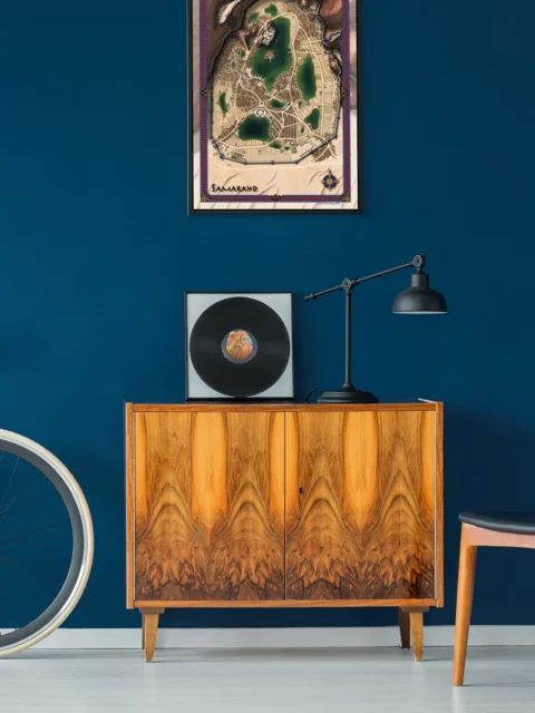
Alyssa Faden Cartography


Alyssa Faden Cartography


Alyssa Faden Cartography
Rayley Alternate Color City Map by Alex – Archival Canvas Print


Alyssa Faden Cartography


Alyssa Faden Cartography


Alyssa Faden Cartography


Alyssa Faden Cartography


Alyssa Faden Cartography
Reviews
There are no reviews yet.