
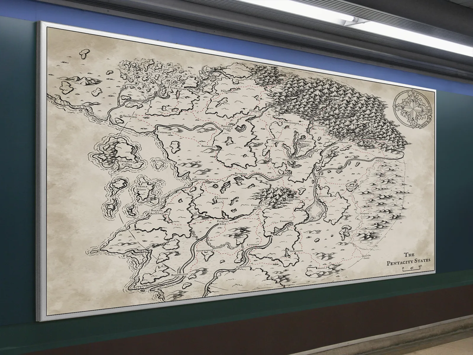
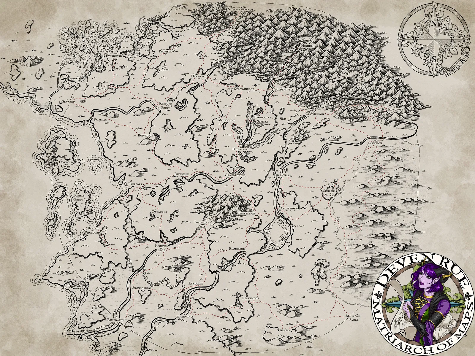
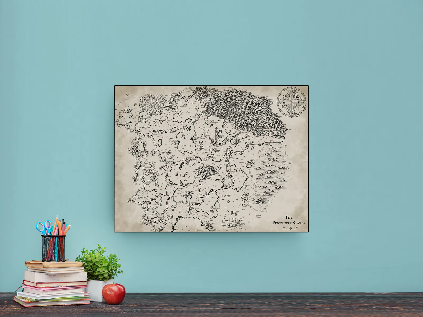

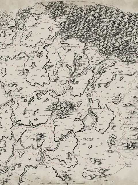
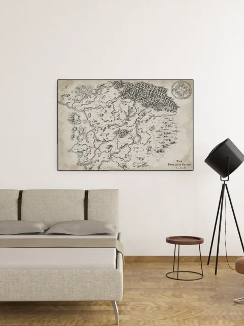
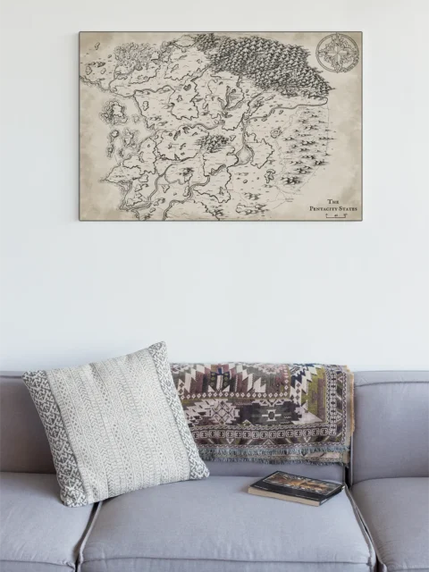
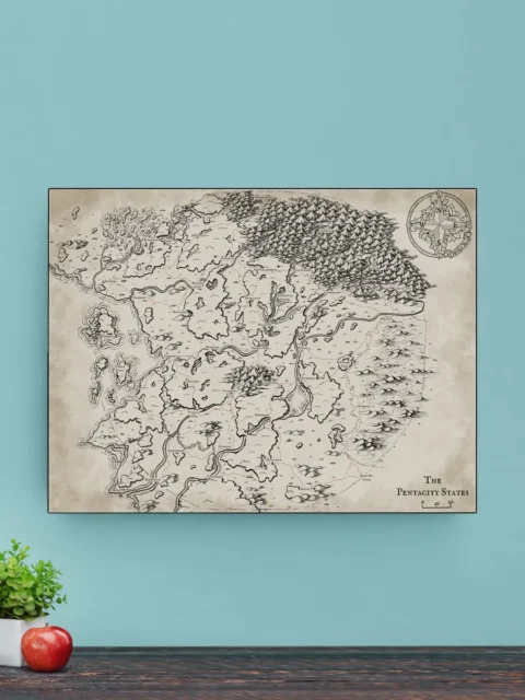


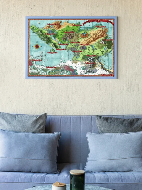
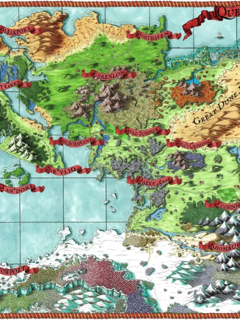
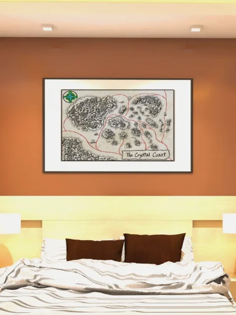
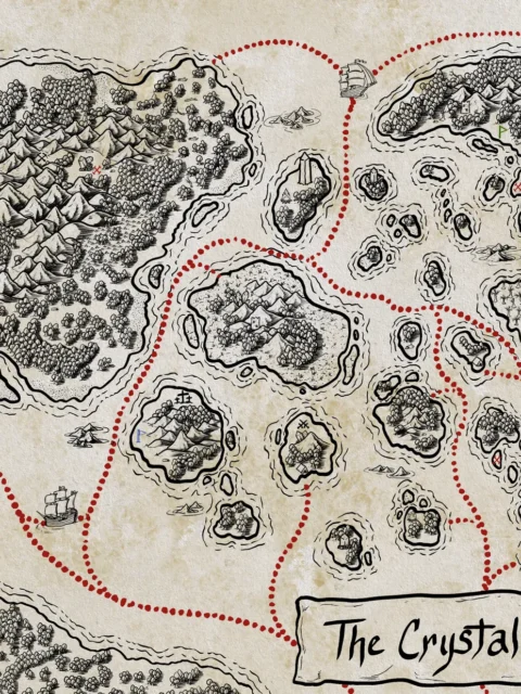
The Pentacity States Map lays out a divided realm where borders, rivers, and mountain ranges signal constant political strain. For anyone looking to showcase this setting in their space, Pentacity States Map canvas wall art offers a dramatic centerpiece. Moreover, marked routes and named regions imply fragile alliances and contested movement across the land. Consequently, the scene establishes threat and tension through geography alone.
Additionally, the composition spreads dense highlands against open plains to create a clear sense of scale. However, winding rivers interrupt boundaries and pull the eye across multiple territories. Moreover, the overhead perspective supports strategic reading while preserving a hand-inked narrative style.
Finally, aged parchment tones pair with crisp linework for immediate visual impact. Consequently, borders and landmarks remain readable at a glance. Moreover, restrained shading reinforces distance and regional separation without overwhelming detail.
Features
Hand-drawn regional map with defined borders
Clear top-down layout for strategic reference
Balanced terrain density for readability
Distinct regions and travel routes
Printed on archival canvas
Use Cases
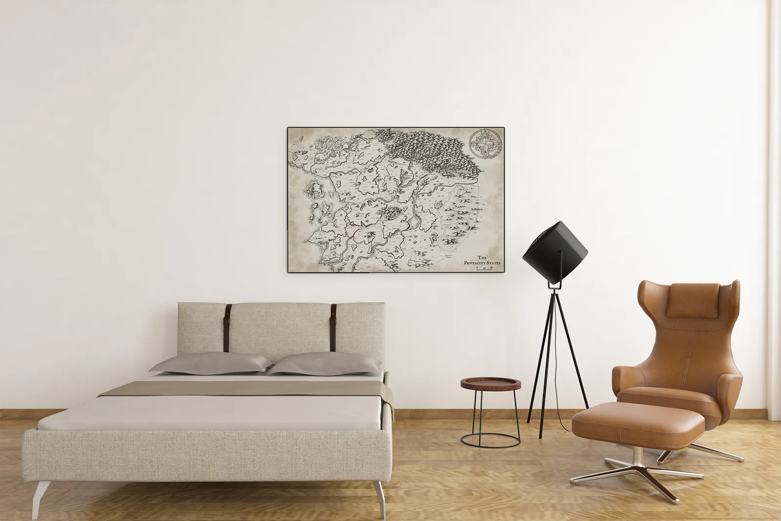
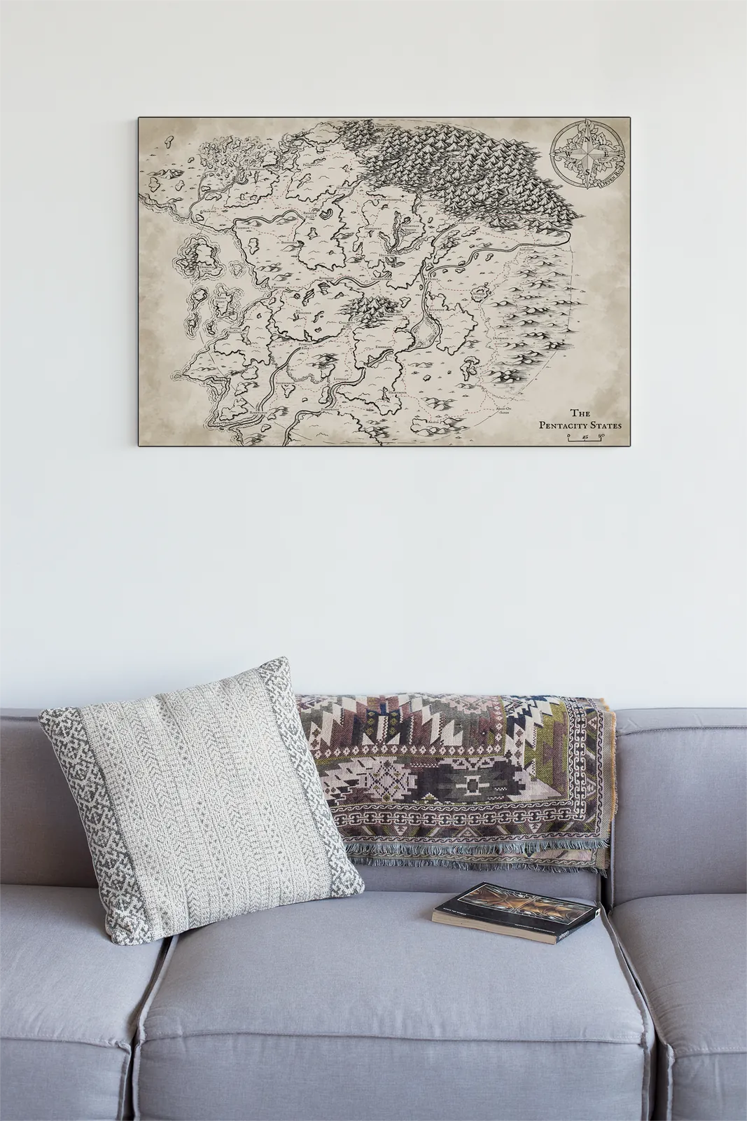
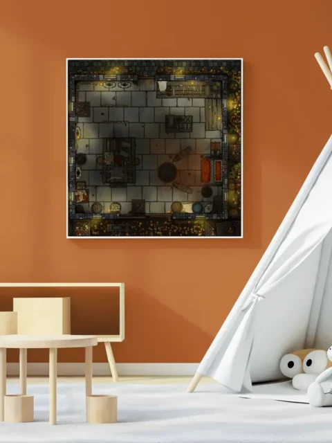
Moreover, collectors, gamers, and tabletop fans can place this artwork in a wall, studio, game room, or creative space to support political campaigns, regional conflict planning, and large-scale worldbuilding.
Only logged in customers who have purchased this product may leave a review.
Production & Shipping
All Noble Dwarf items are produced to order. Please allow up to 2 weeks for production before your order ships.
Many items ship sooner depending on current production volume, but during high-demand periods or convention season, the full production window may apply.
Once production is complete, you will receive tracking information automatically via email. Shipping time varies based on carrier and destination.
If you have a deadline or special request, please contact us prior to ordering and we will do our best to accommodate.

Related products


Alyssa Faden Cartography


Alyssa Faden Cartography


Alyssa Faden Cartography


Alyssa Faden Cartography


Alyssa Faden Cartography


Alyssa Faden Cartography
Rayley Alternate Color City Map by Alex – Archival Canvas Print


Alyssa Faden Cartography


Alyssa Faden Cartography
Reviews
There are no reviews yet.