

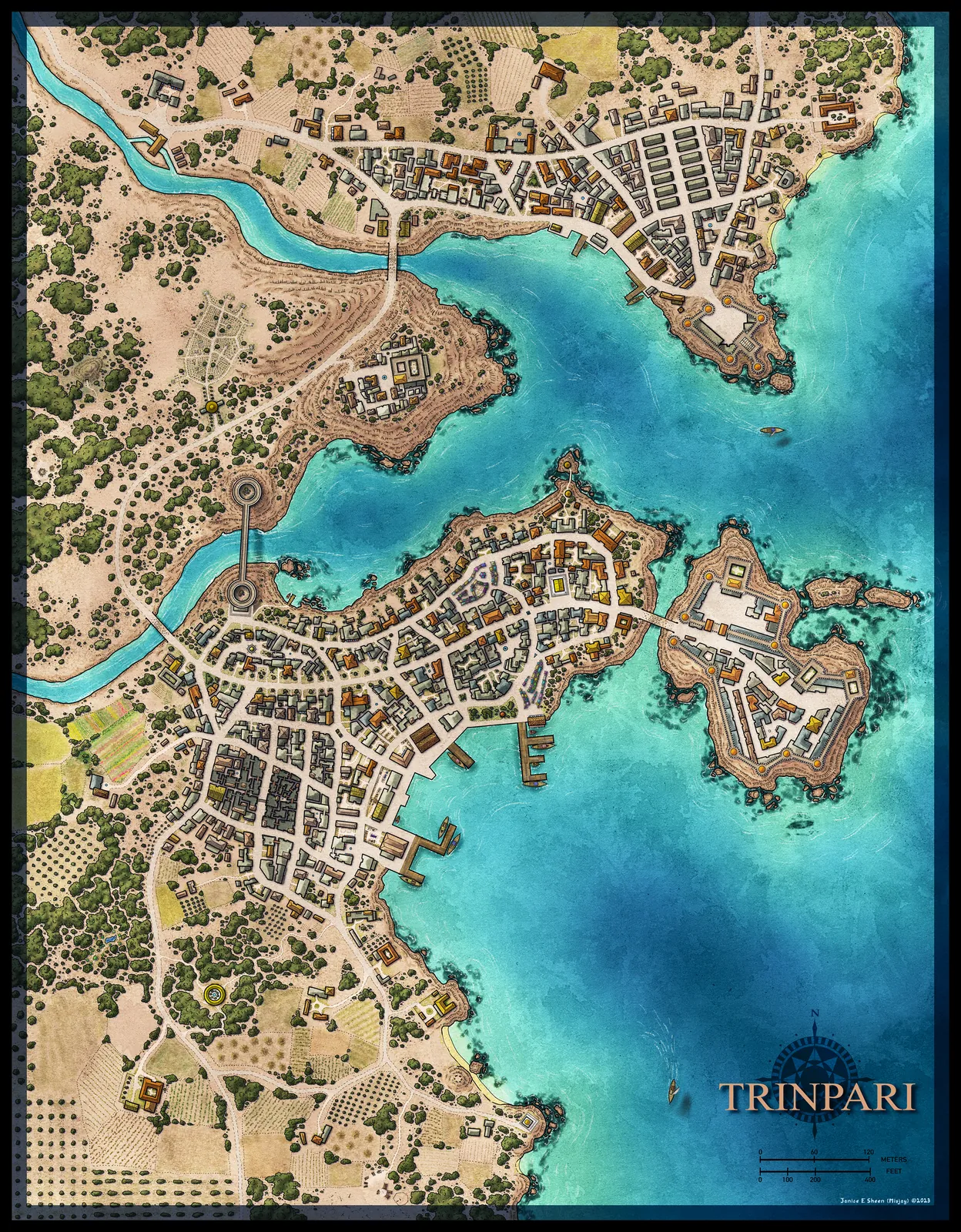
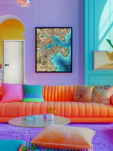
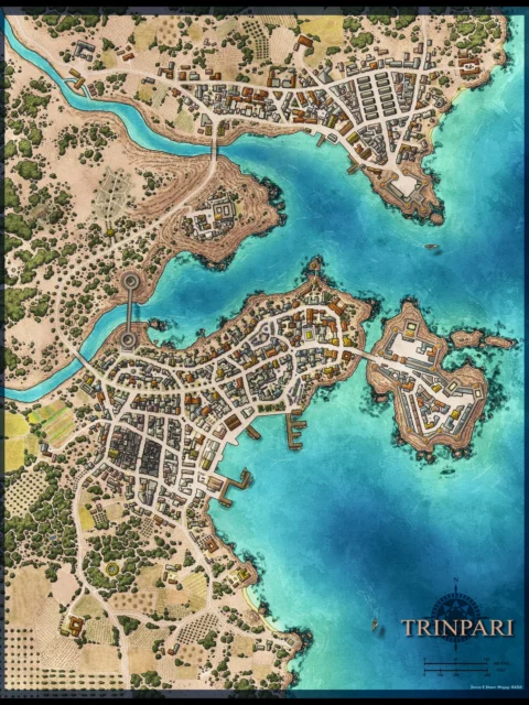

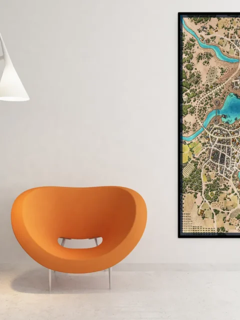
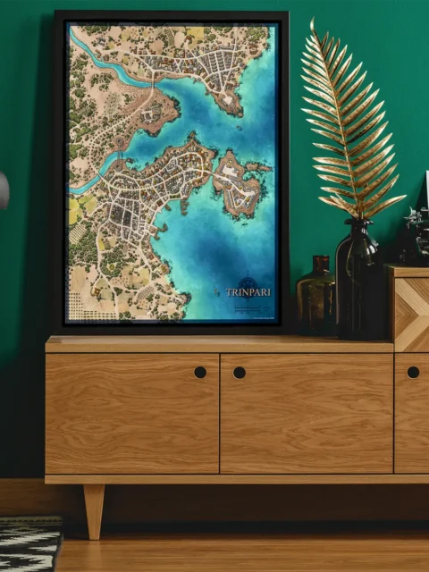

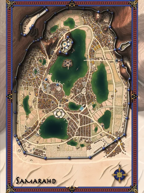
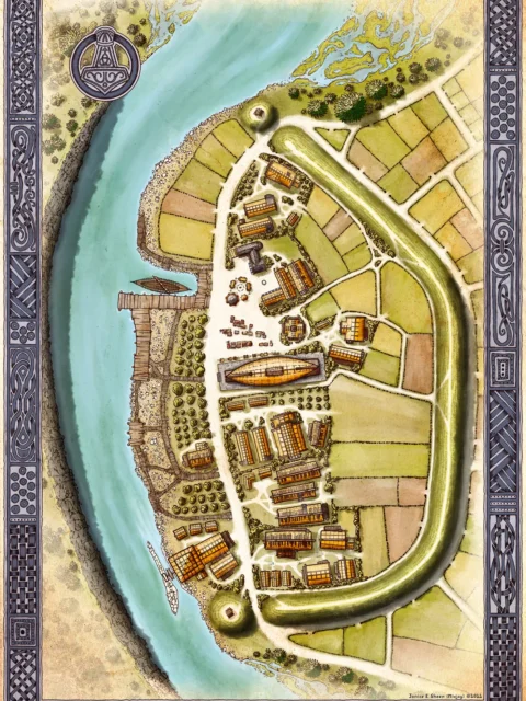
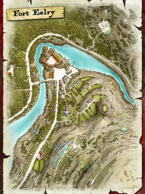
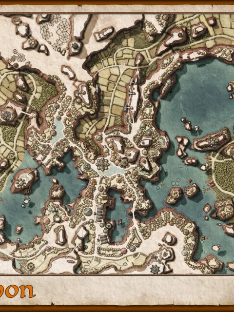
Trinpari Harbor City Map Wall Art Canvas illustrates a coastal settlement shaped by coves, docks, and layered neighborhoods. Moreover, the Trinpari harbor city map clearly shows how waterways, roads, and districts interlock around a protected bay. Consequently, the city reads as navigable, intentional, and well suited for play or display.
Additionally, the composition guides the eye from inland roads through urban blocks and out toward fortified islands. However, open water and shoreline spacing prevent visual overload. As a result, the map balances dense detail with readability on a fine art canvas.
Finally, natural terrain transitions frame the urban core and emphasize scale. Above all, the layout communicates trade, defense, and movement at a glance. Consequently, Trinpari feels alive, functional, and story-ready.
Features
Illustrated harbor city map designed for clarity
Coastal city with docks, islands, and inner bays
Clear road networks connecting districts and ports
Hand-illustrated buildings and shoreline terrain
Balanced urban density with open water space
Optimized for legibility at multiple display sizes
Use Cases
Moreover, this fantasy harbor city map art fits collectors who value detailed cartography, tabletop players running coastal adventures, and anyone adding a striking maritime city scene to a studio, game room, or office wall.
Only logged in customers who have purchased this product may leave a review.
Production & Shipping
All Noble Dwarf items are produced to order. Please allow up to 2 weeks for production before your order ships.
Many items ship sooner depending on current production volume, but during high-demand periods or convention season, the full production window may apply.
Once production is complete, you will receive tracking information automatically via email. Shipping time varies based on carrier and destination.
If you have a deadline or special request, please contact us prior to ordering and we will do our best to accommodate.
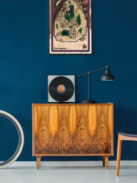
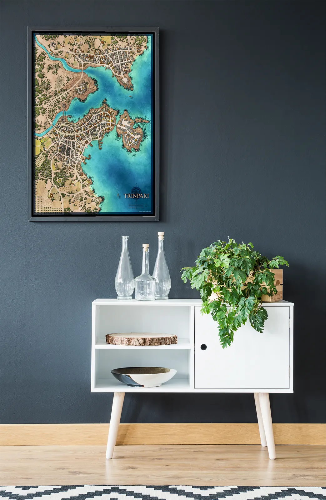
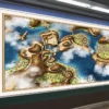
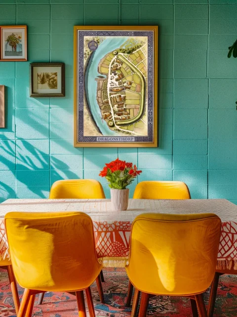
Gallery Canvas
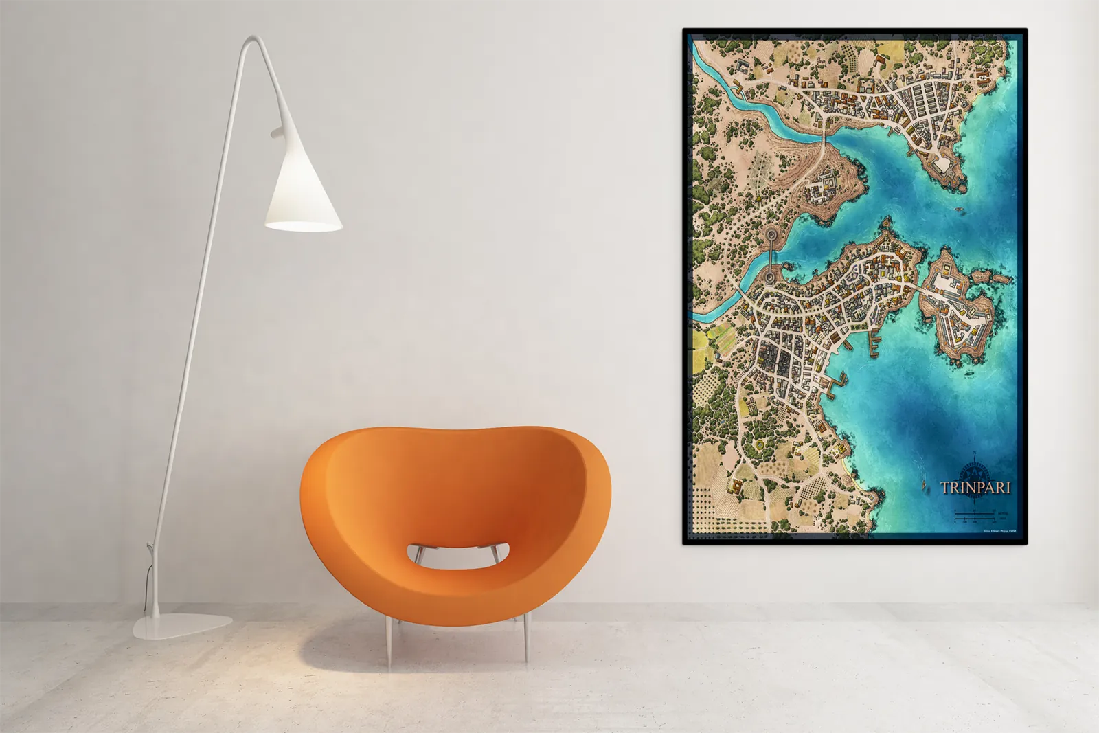
Gallery Canvas

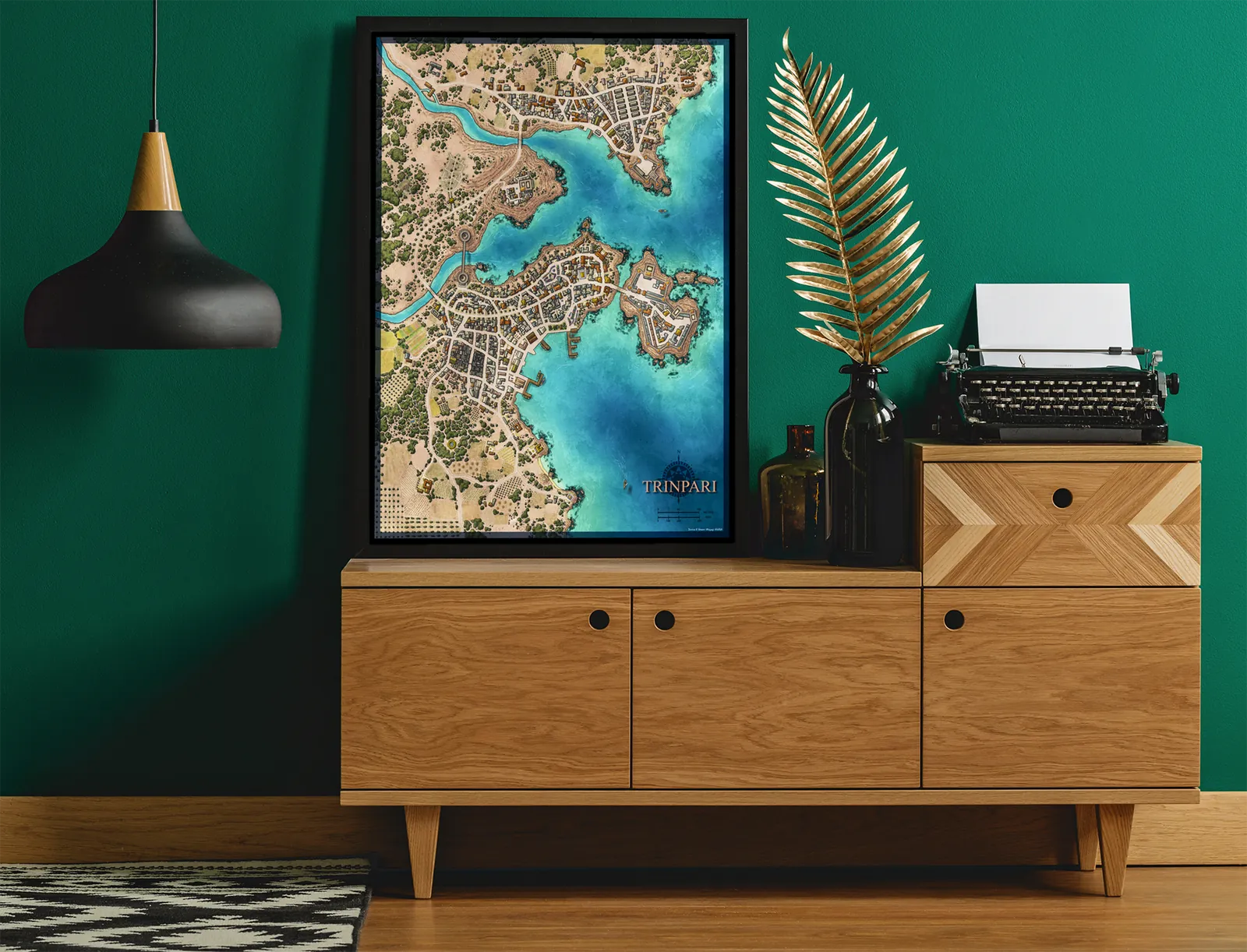
Gallery Canvas
Gallery Canvas
Gallery Canvas
Related products


Alyssa Faden Cartography


Alyssa Faden Cartography


Alyssa Faden Cartography


Alyssa Faden Cartography


Alyssa Faden Cartography


Alyssa Faden Cartography


Alyssa Faden Cartography
Reviews
There are no reviews yet.