
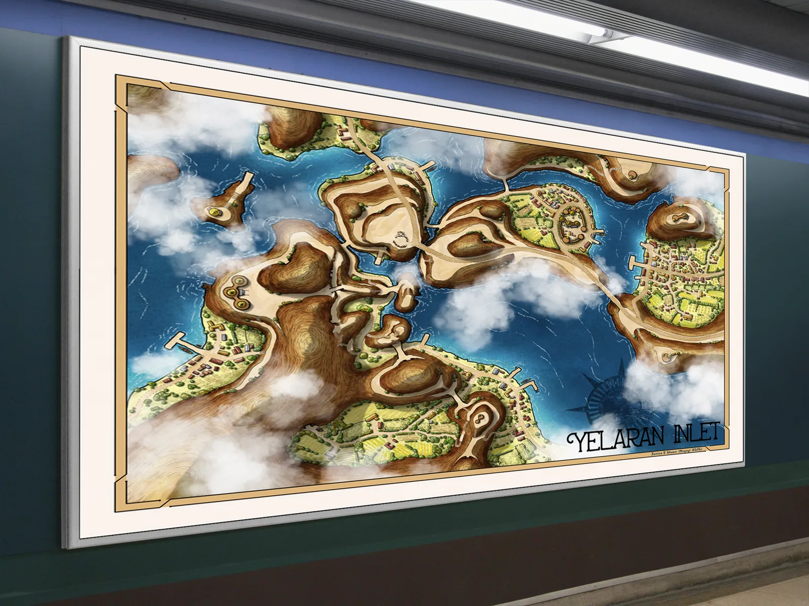
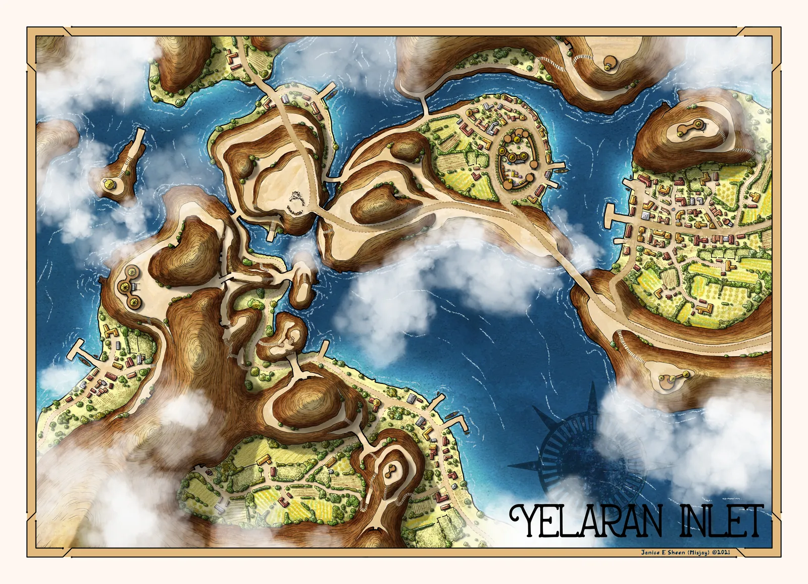
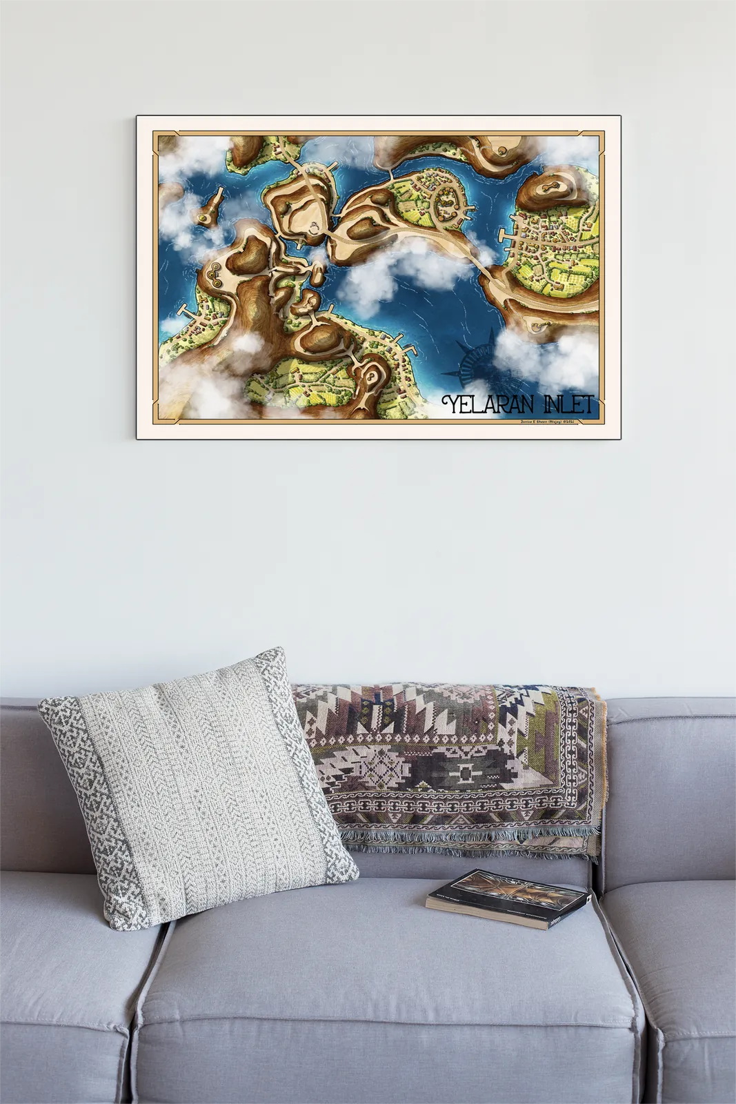
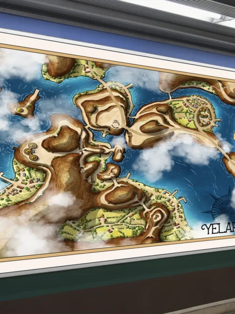
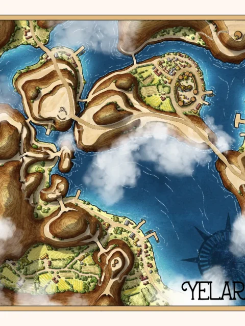


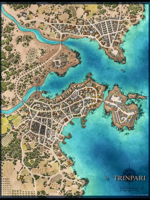
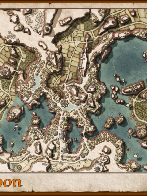
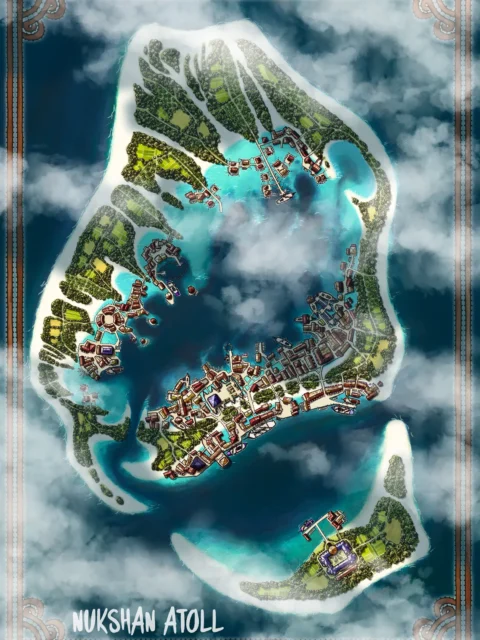
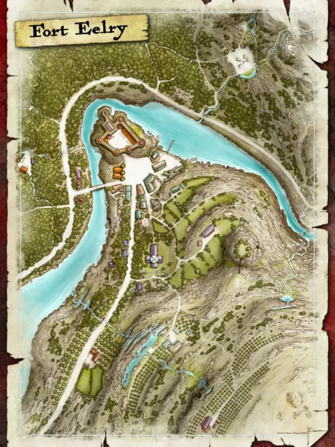
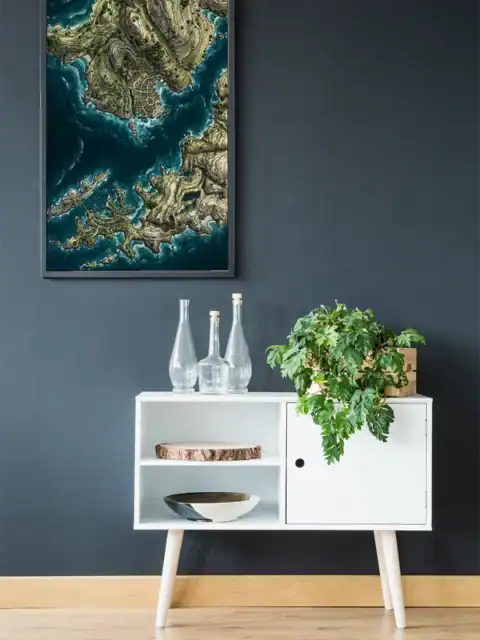
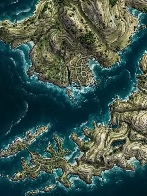
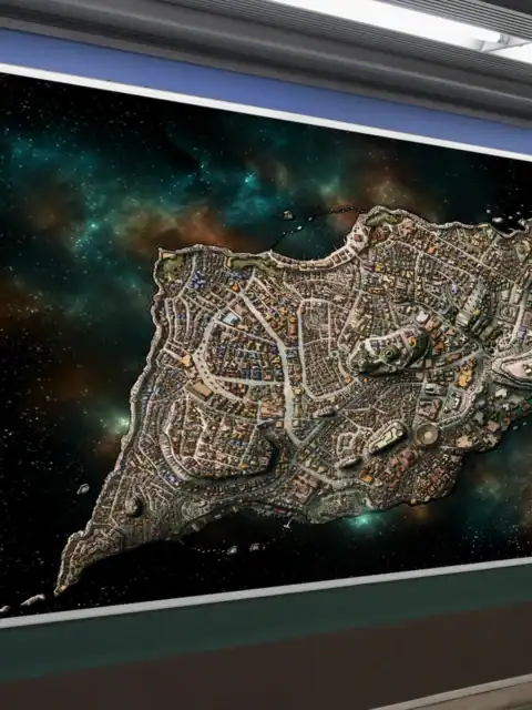
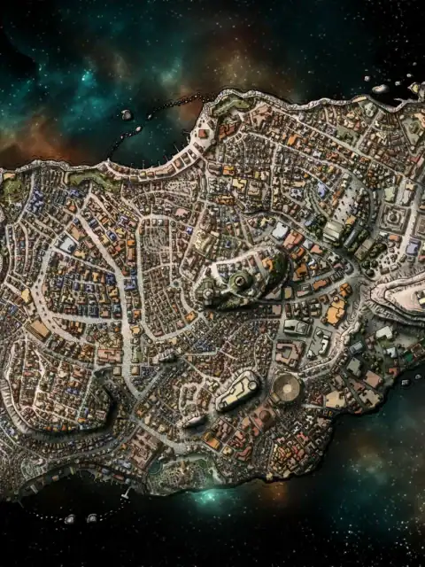
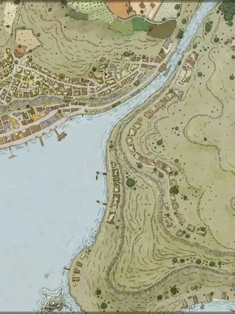
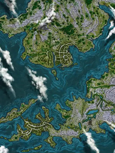
Multiple islands rise from deep blue waters, connected by wooden piers and docks. This yelaran inlet fantasy map canvas print captures an archipelago settlement in aerial detail. Notably, white clouds drift across portions of the map, creating atmospheric depth.
Indeed, brown contour lines trace each island’s hills and cliffs with cartographic precision. Green settlements dot the landmasses, showing tiny buildings and cultivated fields. The decorative border frame features corner embellishments that complete the professional presentation.
Archipelago campaigns gain immediate visual reference for naval adventures and island exploration. Dungeon masters who run seafaring adventures appreciate the pier-to-pier connectivity details. This yelaran inlet fantasy map canvas print particularly serves coastal campaign planning needs.
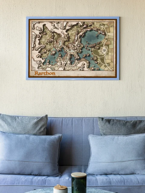
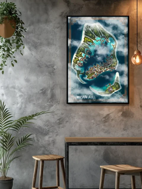
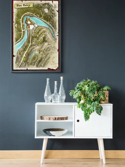
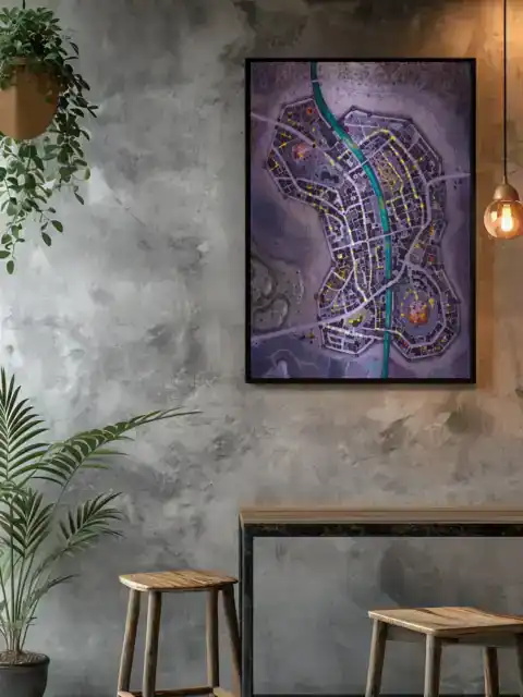
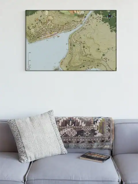
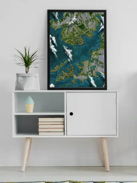
About This Canvas Print
- Printed on premium artist-grade canvas using archival inks rated for 100+ years of fade resistance
- Flat canvas print — no frame, no matting, giving you complete flexibility to display it your way
- The 1.5-inch border on all sides is designed for gallery wrapping around a stretcher frame or standard framing — the image area stays fully intact
- High-resolution printing captures fine line detail, color gradients, and subtle textures across the full image
- Printed and shipped from the USA — ready to display, frame, or wrap when it arrives
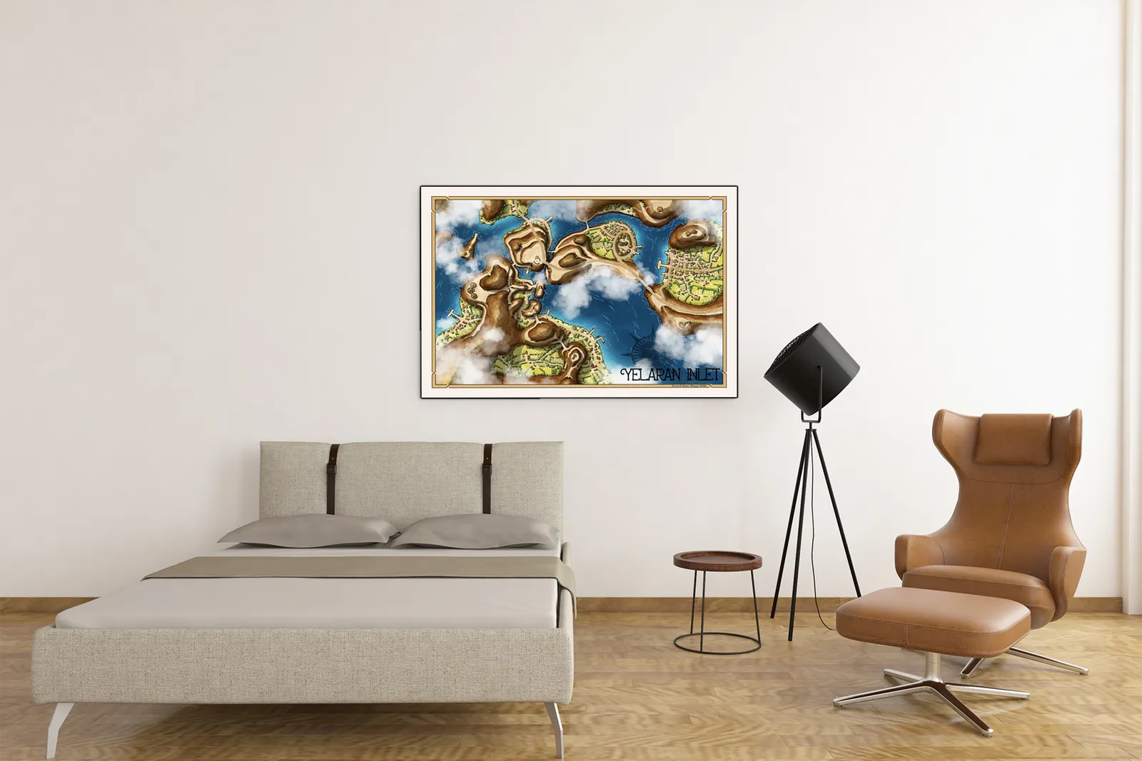
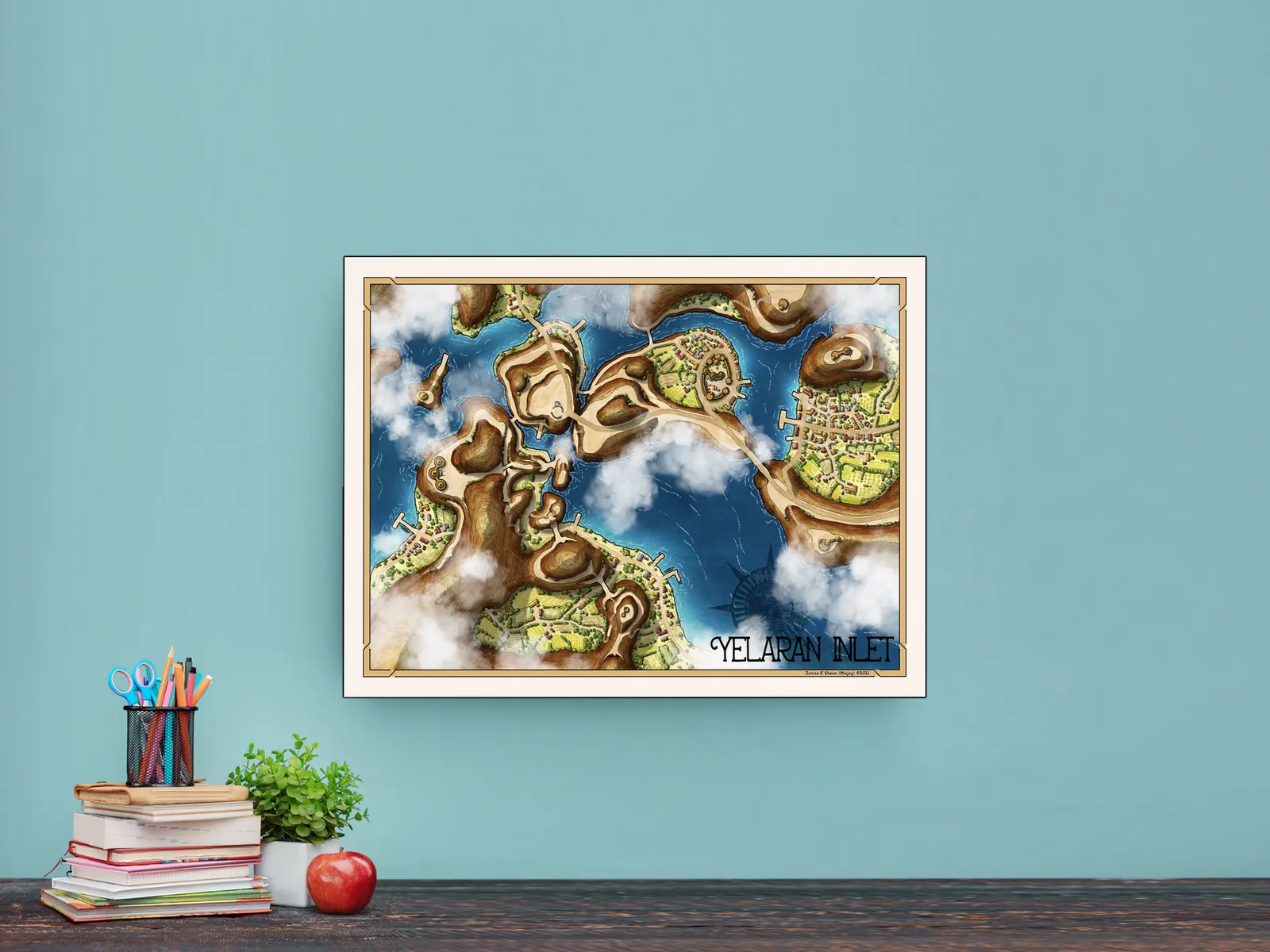
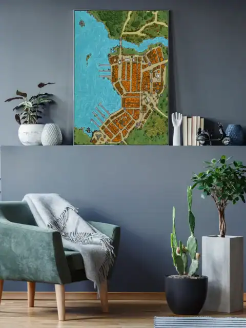
Display Ideas
Creative studio or gaming den sessions benefit from the aerial perspective for maritime encounters. Moreover, the island-hopping layout helps visualize naval campaign progression and settlement connections.
About the Artist
This canvas print reproduces original artwork by Misjay Maps. Noble Dwarf is an authorized print partner — all prints are produced with the creator’s permission on archival canvas with 100-year fade-resistant inks.
Only logged in customers who have purchased this product may leave a review.
Production & Shipping
All Noble Dwarf items are produced to order. Please allow up to 2 weeks for production before your order ships.
Many items ship sooner depending on current production volume, but during high-demand periods or convention season, the full production window may apply.
Once production is complete, you will receive tracking information automatically via email. Shipping time varies based on carrier and destination.
If you have a deadline or special request, please contact us prior to ordering and we will do our best to accommodate.
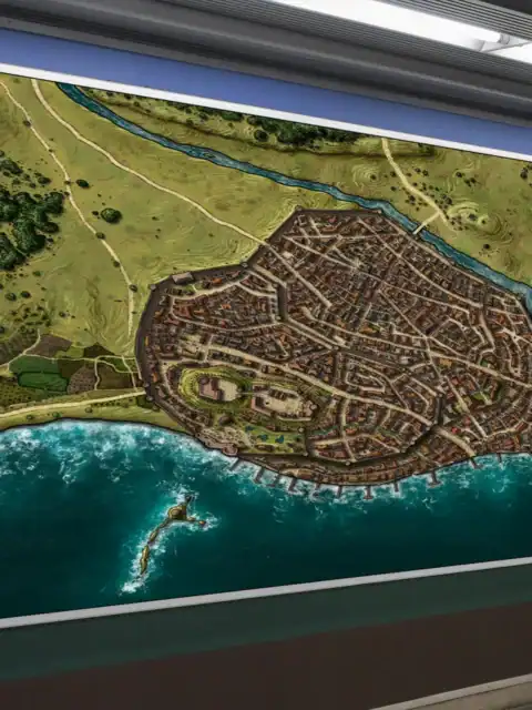
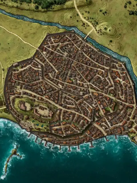
Gallery Canvas
Gallery Canvas

Gallery Canvas
Gallery Canvas
Gallery Canvas
Gallery Canvas
Related products
Alyssa Faden Cartography
Alyssa Faden Cartography
Alyssa Faden Cartography
Alyssa Faden Cartography


Alyssa Faden Cartography
Alyssa Faden Cartography
Alyssa Faden Cartography
Alyssa Faden Cartography
Reviews
There are no reviews yet.