
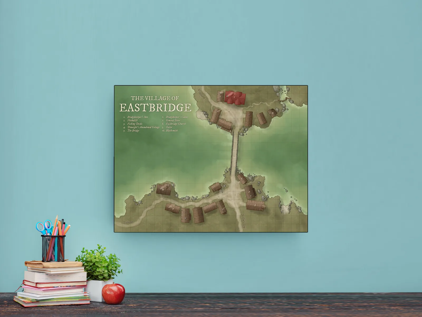
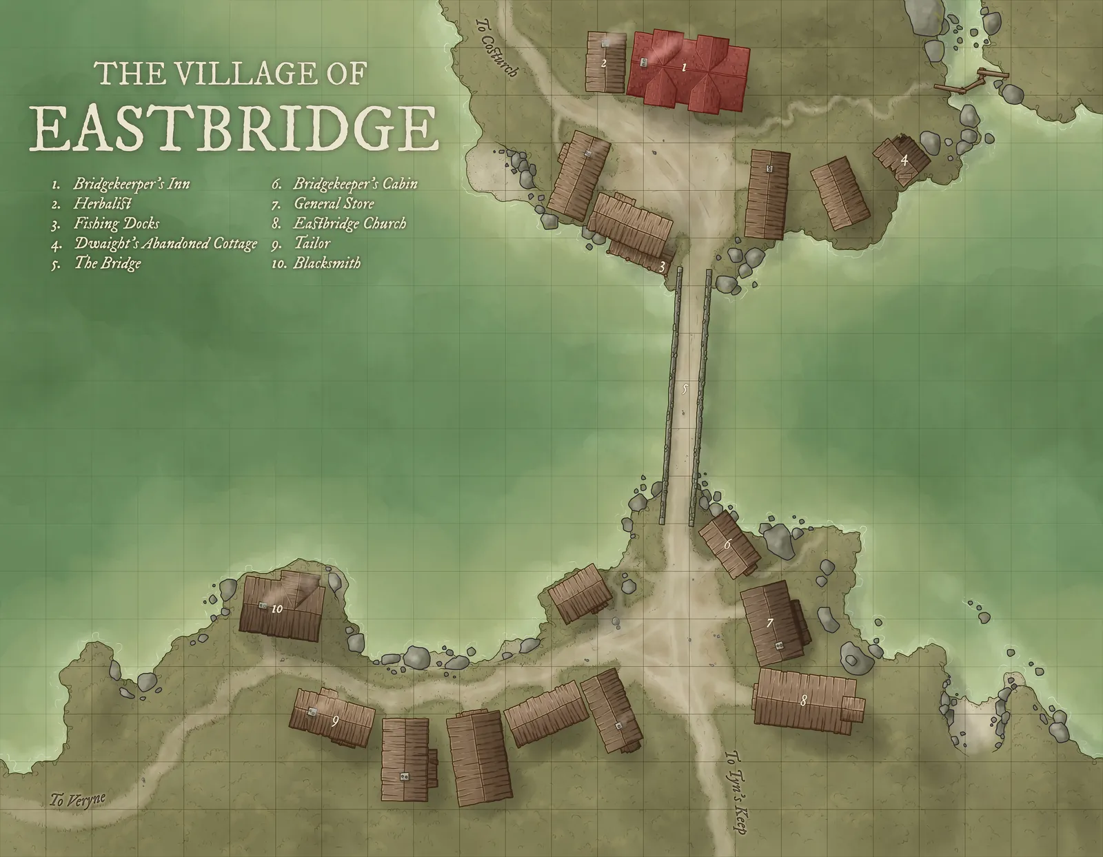

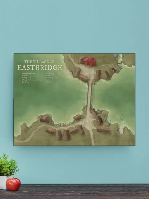
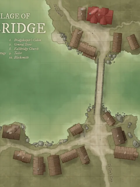
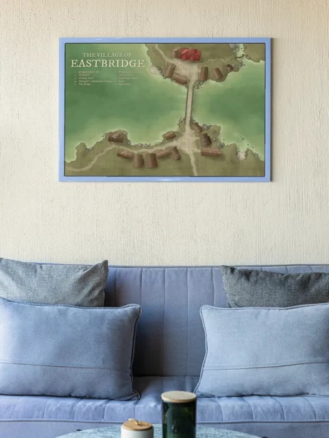

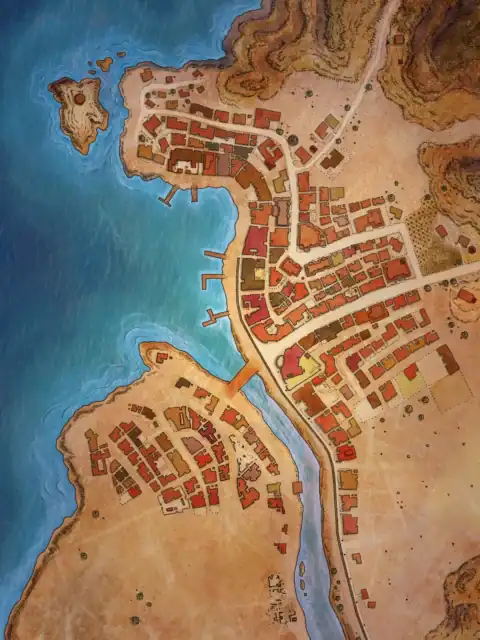
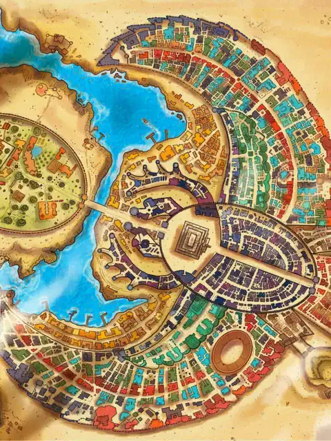
A single stone bridge spans the river dividing this pastoral fantasy settlement. This eastbridge fantasy map canvas print captures Daniël’s hand-drawn village cartography. Notably, ten numbered locations mark essential establishments across both banks.
In particular, the soft green background creates depth behind beige-tan landmasses. Brown rectangular buildings show individual roof plank details throughout the settlement. Moreover, gray stones line the riverbanks and dot the surrounding landscape.
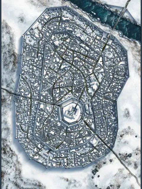
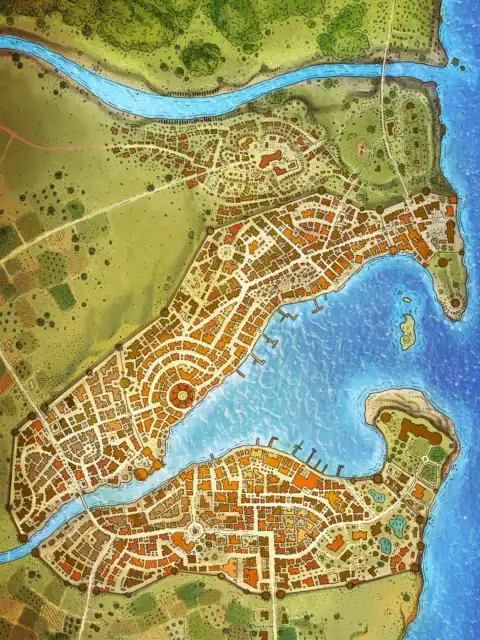
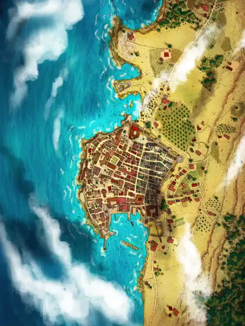
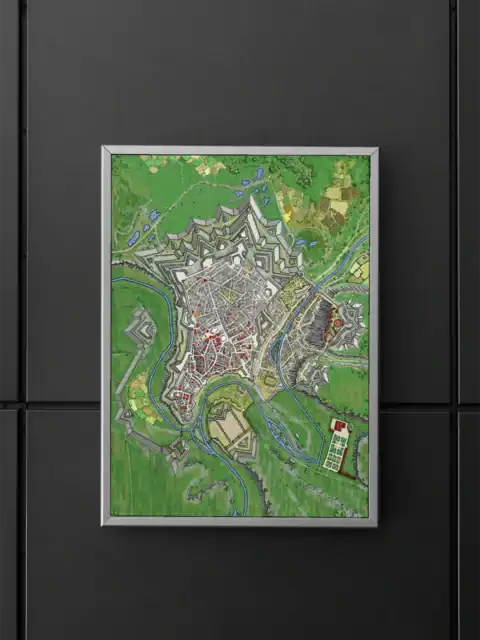
Collectors of professional fantasy cartography recognize Daniël’s meticulous village mapping immediately. Dungeon masters and worldbuilders value authentic settlement layouts for campaign development. Particularly, this eastbridge fantasy map canvas print anchors any study with proven cartographic expertise.
About This Canvas Print
- Printed on premium artist-grade canvas using archival inks rated for 100+ years of fade resistance
- Flat canvas print — no frame, no matting, giving you complete flexibility to display it your way
- The 1.5-inch border on all sides is designed for gallery wrapping around a stretcher frame or standard framing — the image area stays fully intact
- High-resolution printing captures fine line detail, color gradients, and subtle textures across the full image
- Printed and shipped from the USA — ready to display, frame, or wrap when it arrives
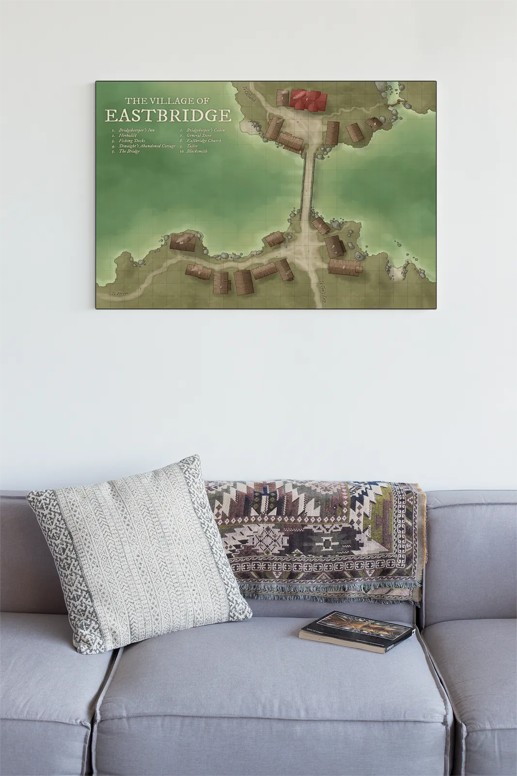
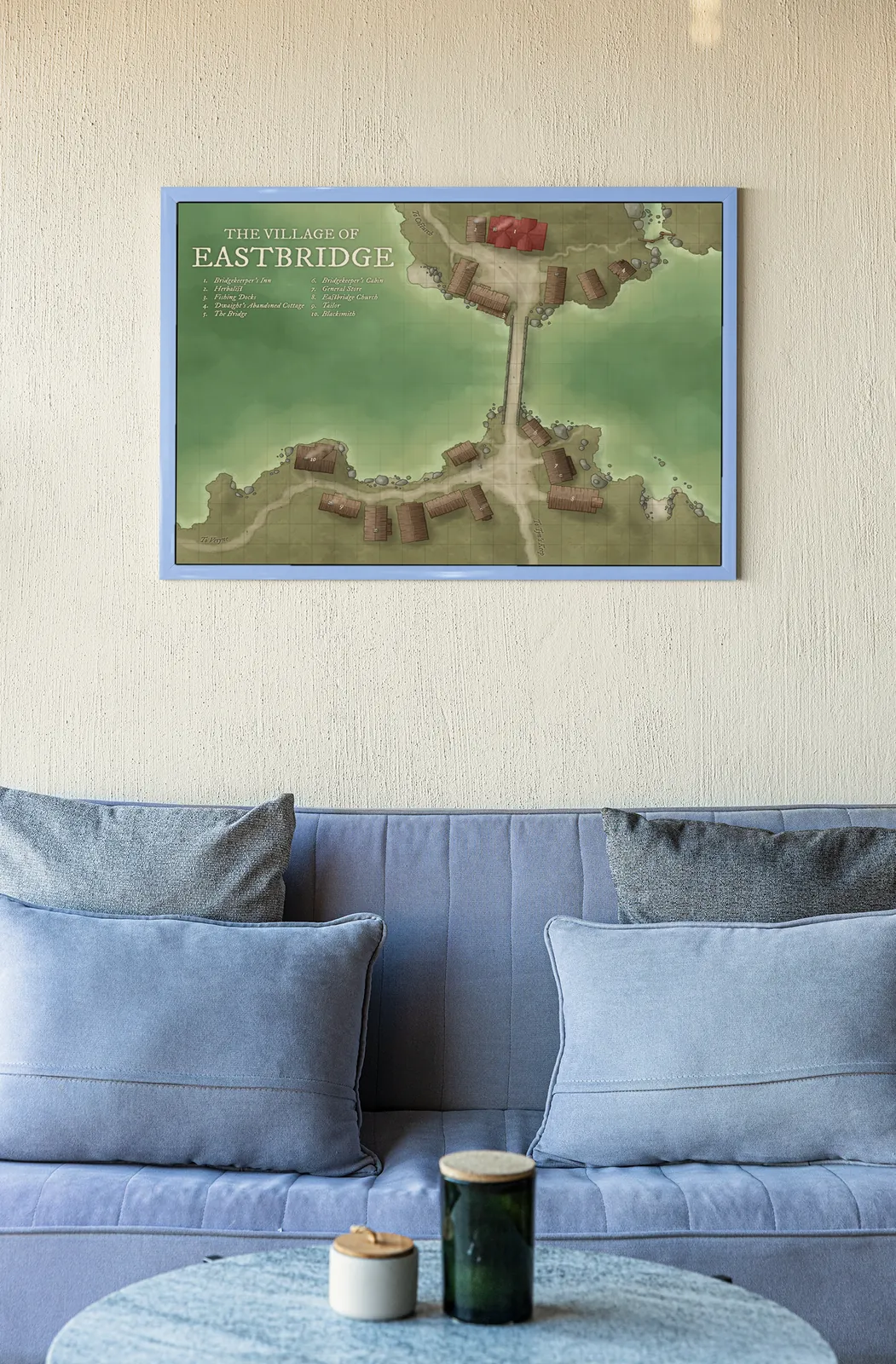
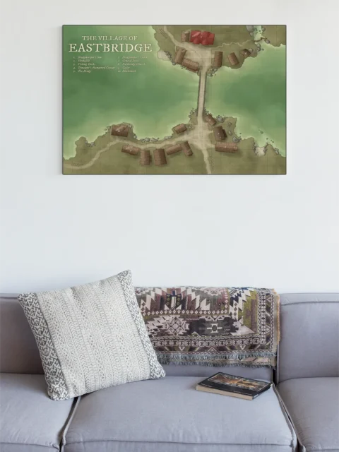
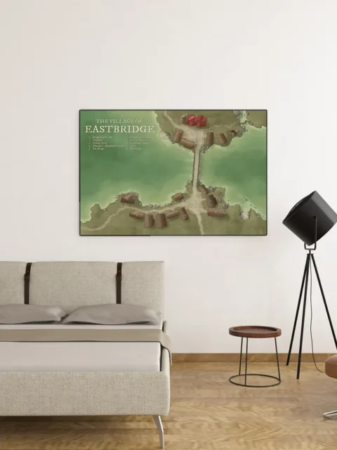
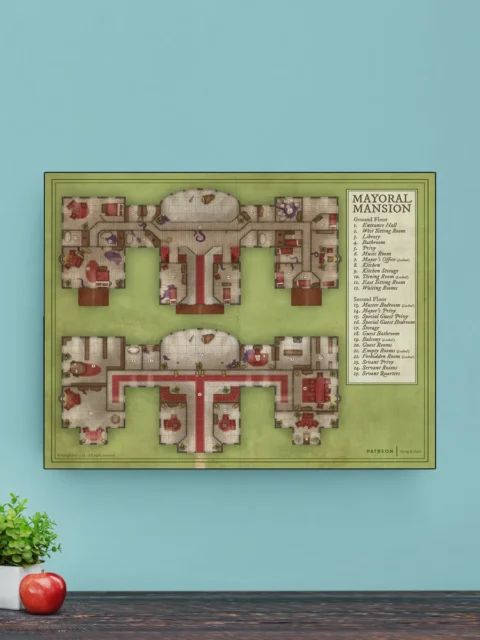
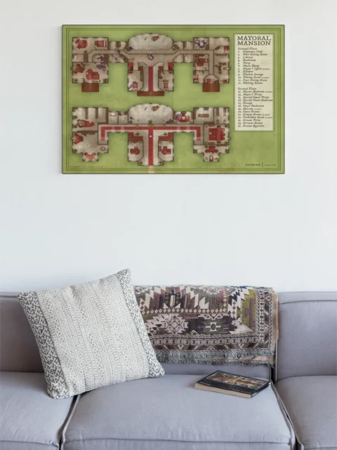
Display Ideas
Study or library spaces where worldbuilding happens benefit from detailed settlement references. Furthermore, the numbered location system supports both campaign planning and fantasy literature development.
About the Artist
This canvas print reproduces original artwork by Daniel’s Maps. Noble Dwarf is an authorized print partner — all prints are produced with the creator’s permission on archival canvas with 100-year fade-resistant inks.
Only logged in customers who have purchased this product may leave a review.
Production & Shipping
All Noble Dwarf items are produced to order. Please allow up to 2 weeks for production before your order ships.
Many items ship sooner depending on current production volume, but during high-demand periods or convention season, the full production window may apply.
Once production is complete, you will receive tracking information automatically via email. Shipping time varies based on carrier and destination.
If you have a deadline or special request, please contact us prior to ordering and we will do our best to accommodate.

Daniel's Maps

Daniel's Maps
Related products

Alyssa Faden Cartography

Alyssa Faden Cartography

Alyssa Faden Cartography
Alyssa Faden Cartography
Alyssa Faden Cartography

Alyssa Faden Cartography

Alyssa Faden Cartography

Alyssa Faden Cartography
Reviews
There are no reviews yet.